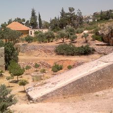
Deïr Maaraboun, archaeological site in Baalbek-Hermel Governorate, Lebanon
Location: Baalbek-Hermel Governorate
GPS coordinates: 33.84083,36.17778
Latest update: March 30, 2025 13:56
Baalbek Stones
17.7 km
Temple of Bacchus
18.6 km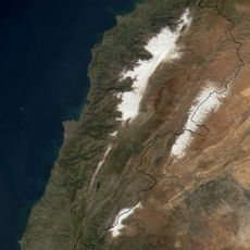
Anti-Lebanon mountains
34.6 km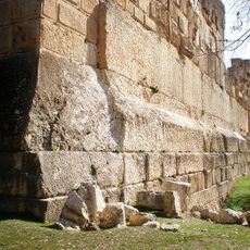
Trilithon of Baalbek
18.6 km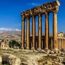
Temple of Jupiter
18.4 km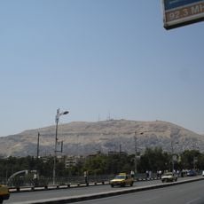
Mount Qasioun
33.8 km
Temples of Baalbek
18.7 km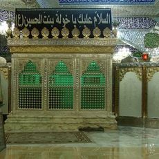
Seyyede Khoulah bint Hossein shrine
18 km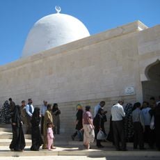
Nabi Habeel Mosque
25.3 km
Qalamoun Mountains
33.4 km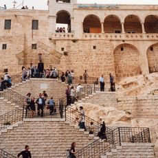
Our Lady of Saidnaya Monastery
24.1 km
Tomb of the Unknown Soldier
35.8 km
Ibn 'Arabi Mosque
36.1 km
October War Panorama
36.5 km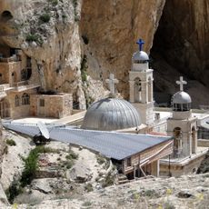
Convent of Saint Thecla
34.1 km
ضاحية قدسيا
33.8 km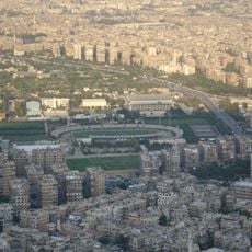
Al-Fayhaa Stadium
36.5 km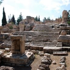
Qasr el Banat, Lebanon
28 km
Hanabila Mosque
36 km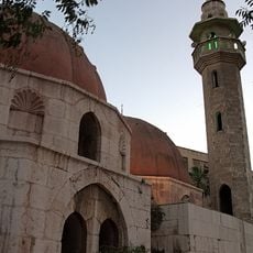
Al-Rukniyah Madrasa
35.8 km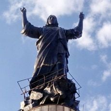
Statue of Jesus
22.1 km
Monastère des Chérubins
21.9 km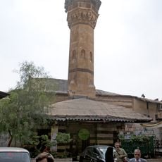
Salimiyya Takiyya
36.1 km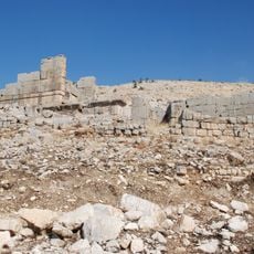
Hosn Niha Site
22.4 km
Up Town
35.4 km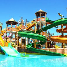
Mambo Beach & Waterpark
28.8 km
Umayyad Ruins of Aanjar
25.6 km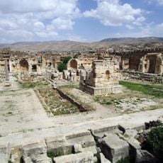
Acropole
18.6 kmVisited this place? Tap the stars to rate it and share your experience / photos with the community! Try now! You can cancel it anytime.
Discover hidden gems everywhere you go!
From secret cafés to breathtaking viewpoints, skip the crowded tourist spots and find places that match your style. Our app makes it easy with voice search, smart filtering, route optimization, and insider tips from travelers worldwide. Download now for the complete mobile experience.

A unique approach to discovering new places❞
— Le Figaro
All the places worth exploring❞
— France Info
A tailor-made excursion in just a few clicks❞
— 20 Minutes