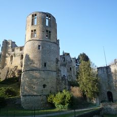
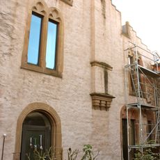
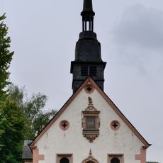
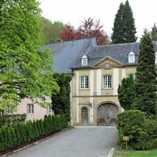
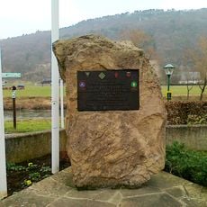
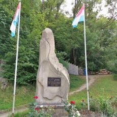
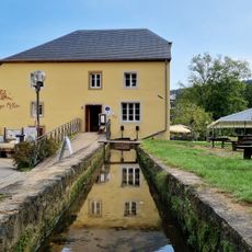
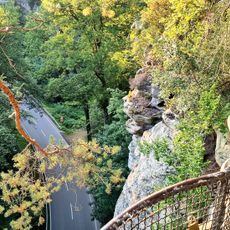
Parc Naturel Mëllerdall / Naturpark Mëllerdall, Nature park in eastern Luxembourg
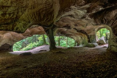
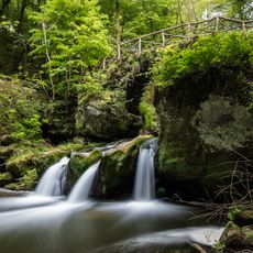
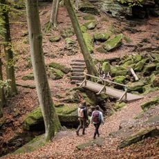
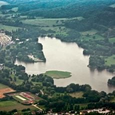
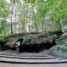
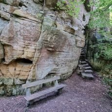
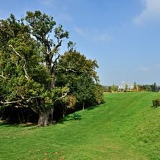
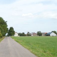
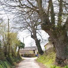
The Naturpark Mëllerdall spreads across 256 square kilometers with valleys, sandstone formations, and rolling hills along the German border. The landscape features dense forests, towering rock formations, and open grasslands that characterize the terrain throughout the region.
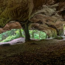
The park was established in 2016 to protect a region whose geological formations originated 245 million years ago when the area lay beneath an ancient sea. Those marine conditions shaped the sandstone layers that define the landscape we see today.
The park contains traditional orchards across twelve municipalities that preserve hundreds of regional fruit varieties, showing how people have worked with this land for generations.
The Mullerthal Trail network offers 112 kilometers of routes with three main paths through forests and rock formations suitable for different fitness levels. The best time to visit is from May to October, when weather is stable and trails are generally dry.
The area received UNESCO Global Geopark status in 2022 and is recognized worldwide as a classroom for geology and climate change education. Schools and researchers regularly use this natural exhibition to teach complex geological processes through the rock formations themselves.
The community of curious travelers
AroundUs brings together thousands of curated places, local tips, and hidden gems, enriched daily by 60,000 contributors worldwide.