Chest opened
+${chestReward.xp} XP
Explorer
NOUVEAU ×${chestReward.collectible.quantity}
tapez pour fermer
Chest locked

Open chests in the app

Around Us is built for your phone — chests unlock when you walk, explore and capture nearby places.

Enable Location

We need your location to show you interesting places around you

Discover nearby places

Find interesting locations and hidden gems around you

Precise directions

Get accurate directions and distances to places

Your location is never shared with other users. It's only used when you tap the location button.

Chaouia-Ouardigha

Log in to your account

Start exploring — it's free

Trusted by 72,981 travelers worldwide

Continue with Google
Continue with Apple
or

We will send you a code to connect

By continuing, you accept our Terms and Conditions and our Privacy Policy

Check your inbox

We've sent a pincode in your inbox. Please enter the code below.

Chaouia-Ouardigha
Discussion Reviews 1 Photos
7.2k Popularity

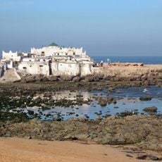
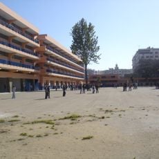
Chaouia-Ouardigha, Former administrative region in north-central Morocco.

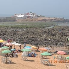
Chaouia-Ouardigha was an administrative region in central Morocco that lay between the Oum er-Rbi River and the Atlantic Ocean. The area contained farmland in the Tadla plain and featured varying landscapes between river valleys and coastal zones.

During the French protectorate period, the area was divided into three administrative zones: Chaouia-North, Chaouia-Center, and Chaouia-South. In 2015, the region was dissolved and split between Casablanca-Settat and Béni Mellal-Khénifra.

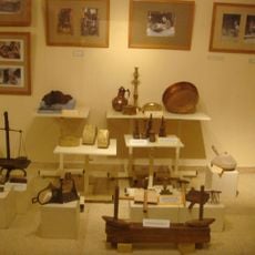
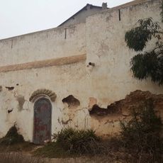
The name Chaouia comes from 'Chaoui', meaning shepherds, which reflects how the local people traditionally lived from raising livestock. This connection to herding shaped the identity and daily practices of communities in the region for many centuries.

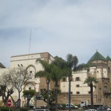
The former region no longer exists as an administrative unit today and does not appear as a separate area on modern maps. For visitors interested in exploring the historical area, cities like Casablanca and towns in the Tadla plain are useful reference points.

Certain soils in the region, especially around Mdhakra, were exceptionally fertile and locally known as tirs. This soil quality allowed farmers to achieve good harvests year after year.

The community of curious travelers

AroundUs brings together thousands of curated places, local tips, and hidden gems, enriched daily by 60,000 contributors worldwide.

Start exploring
Location
Capital city
Settat
GPS coordinates
33.00000,-7.61667
Latest update
December 10, 2025 15:48
Reviews
Share your experience

No review yet

Discussions
Start a discussion...

No discussion yet

« Chaouia-Ouardigha - Former administrative region in north-central Morocco » is provided by Around Us (aroundus.com). Images and texts are derived from Wikimedia project under a Creative Commons license. You are allowed to copy, distribute, and modify copies of this page, under the conditions set by the license, as long as this note is clearly visible.

Discover hidden gems everywhere you go!

From secret cafés to breathtaking viewpoints, skip the crowded tourist spots and find places that match your style. Our app makes it easy with voice search, smart filtering, route optimization, and insider tips from travelers worldwide. Download now for the complete mobile experience.

Around Us App Screenshot

A unique approach to discovering new places

Le Figaro

All the places worth exploring

France Info

A tailor-made excursion in just a few clicks

20 Minutes

Around Us
Travel Guide & Maps
Download

Send to your phone

QR Code
1

Open the camera app on your mobile.

2

Point at the QR code with your camera. A notification will appear.

3

Tap the notification to open the link.