
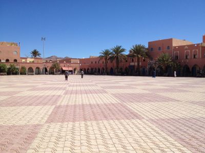
Tata, human settlement
Location: Tata Province
Elevation above the sea: 670 m
GPS coordinates: 29.74278,-7.97250
Latest update: May 3, 2025 04:16
Jbel Toubkal
146.7 km
Oukaïmeden
160.8 km
CrocoParc
162.4 km
Adrar Stadium
169.2 km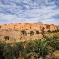
Ksar of Taourirt
166.8 km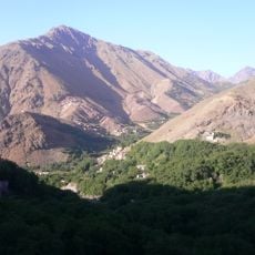
Toubkal National Park
149.8 km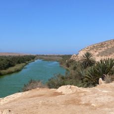
Souss-Massa National Park
167.9 km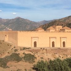
The Great Mosque of Tinmel
140.4 km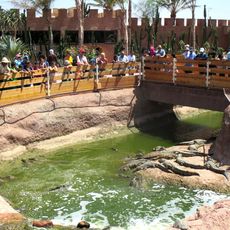
Crocoparc Agadir
162.4 km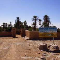
Iriqui National Park
141 km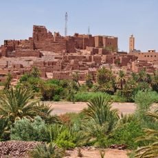
Kasbah of Tifoultoute
162.1 km
Izerbi
96.2 km
Tasguent agadir
77 km
Cinema Museum
166.9 km
Agadir Imchiguegueln
121.5 km
Medina of Taroudant
119.6 km
Aït Bounouh
93.8 km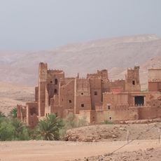
Ksar of Tamdakht
169.5 km
Aït Kine
35.5 km
Tinmel mosquée Almohades ibnou toumert 010717
140.4 km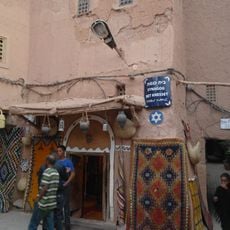
Bet Knesset Synagogue
166.8 km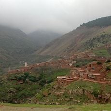
Igri el Khemac
171 km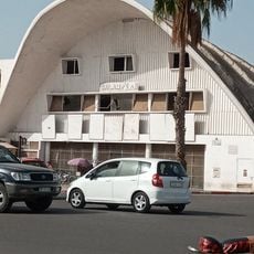
Cinéma Salam
172.7 km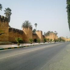
Rempart around Taroudant
118.6 km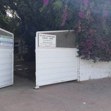
Agadir Catholic Church
172.6 km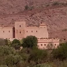
Tinmel (old town)
140.4 km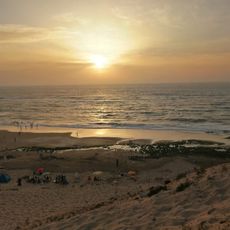
Plage Sidi-Rbat
168 km
Id Aissa
129.8 kmReviews
Visited this place? Tap the stars to rate it and share your experience / photos with the community! Try now! You can cancel it anytime.
Discover hidden gems everywhere you go!
From secret cafés to breathtaking viewpoints, skip the crowded tourist spots and find places that match your style. Our app makes it easy with voice search, smart filtering, route optimization, and insider tips from travelers worldwide. Download now for the complete mobile experience.

A unique approach to discovering new places❞
— Le Figaro
All the places worth exploring❞
— France Info
A tailor-made excursion in just a few clicks❞
— 20 Minutes