Errachidia, City in Morocco
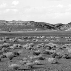
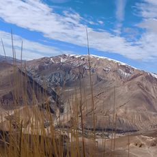
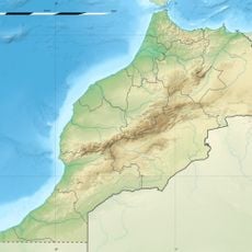
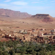
Errachidia is a city in Errachidia Province in eastern Morocco, positioned between the Atlas Mountains and the Sahara Desert. It functions as a regional administrative center and a key junction for travelers heading toward desert and mountain destinations.
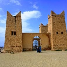
The city was founded in 1913 and originally named Khenifra before being renamed Errachidia in 1974. It grew as a French administrative center during colonial times and retained its role as a regional hub.
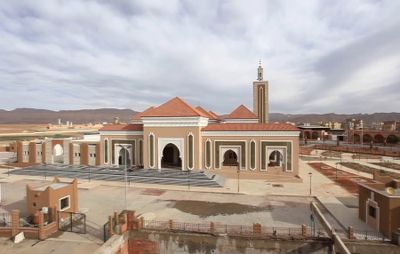
The city's name honors Sidi Ali Cherif, a venerated saint whose spiritual importance shaped the town's identity and character. Walking through the streets, you notice this religious connection reflected in the buildings and in how local life unfolds daily.
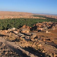
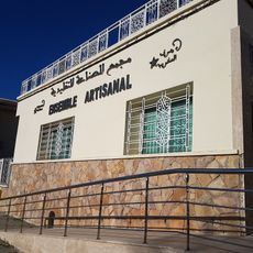
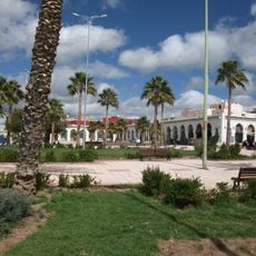
The city sits on a main route between Fes and the Draa Valley and is easily accessible by bus or car. Visitors will find accommodation, restaurants, and markets that serve everyday needs.
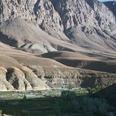
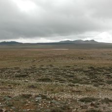
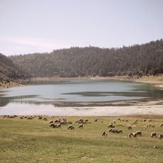
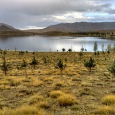
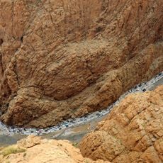
The city sits at the boundary between two geographical worlds, serving as a meeting point for people from mountain regions and desert areas. This transitional character makes it a place where different ways of life and traditions intersect.
The community of curious travelers
AroundUs brings together thousands of curated places, local tips, and hidden gems, enriched daily by 60,000 contributors worldwide.