
Bni Boufrah, rural commune in Morocco
Location: Al Hoceïma Province
Elevation above the sea: 504 m
GPS coordinates: 35.06750,-4.32056
Latest update: May 14, 2025 15:00
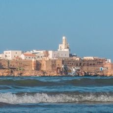
Peñón de Alhucemas
42.5 km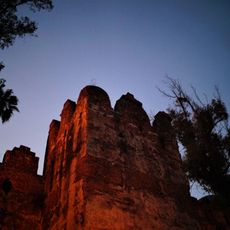
Kasbah of Chefchaouen
86.4 km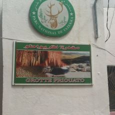
Friouato caves
98.7 km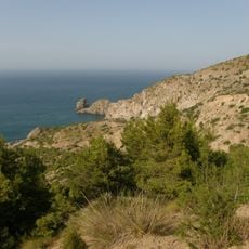
Al Hoceima National Park
22 km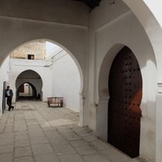
Great Mosque of Taza
99.1 km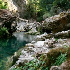
Talassemtane National Park
76.7 km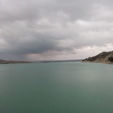
Idriss I Dam
108.2 km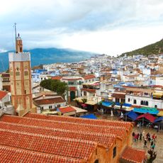
The Great Mosque of Chefchaouen
86.5 km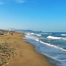
Plage Martil
106.4 km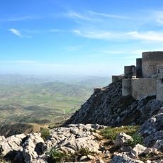
Kasbah of Amergou
97 km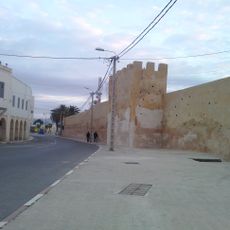
Medina of Taza
99.6 km
Yacimiento protohistórico de Kach Kouch
84.4 km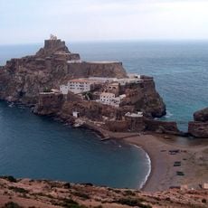
Faro del peñón de Vélez de la Gomera
11.9 km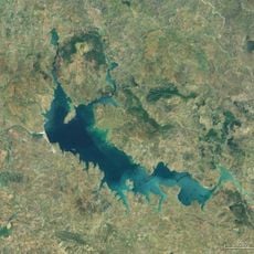
Al Wahda Reservoir
91.5 km
Chefchaouen Medina
86.3 km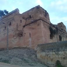
El Bestioun Taza
99.6 km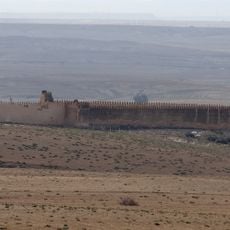
Msoun
103.6 km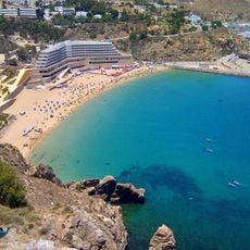
Playa Quemado
40.9 km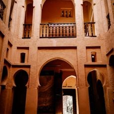
Chefchaouen Ethnographic Museum
86.4 km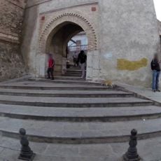
Dar Al Mandri
110 km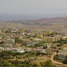
Ichniwen
66.5 km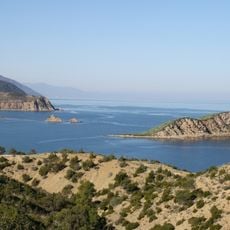
Cala Iris
9.9 km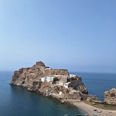
Plage de Bades
11.7 km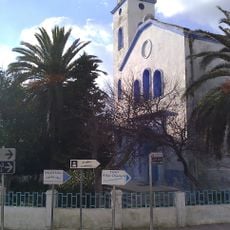
Chefchaouen Church
87.1 km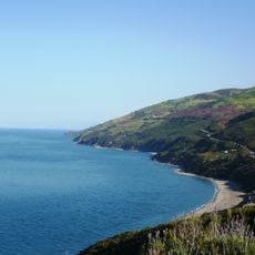
Mediterranean Morocco
40.7 km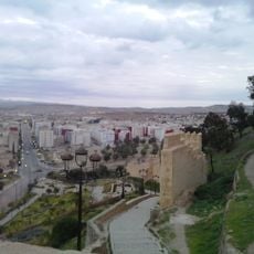
Bab Jemaa
99.4 km
Chefchaouen Jewish Cemetery
86.2 km
Taza Jewish Cemetery
99.7 kmReviews
Visited this place? Tap the stars to rate it and share your experience / photos with the community! Try now! You can cancel it anytime.
Discover hidden gems everywhere you go!
From secret cafés to breathtaking viewpoints, skip the crowded tourist spots and find places that match your style. Our app makes it easy with voice search, smart filtering, route optimization, and insider tips from travelers worldwide. Download now for the complete mobile experience.

A unique approach to discovering new places❞
— Le Figaro
All the places worth exploring❞
— France Info
A tailor-made excursion in just a few clicks❞
— 20 Minutes