Natural and Culturo-Historical Region of Kotor, UNESCO World Heritage Site in Kotor Bay, Montenegro
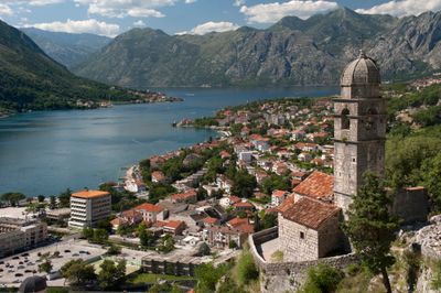
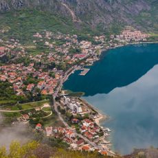
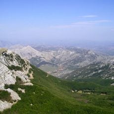
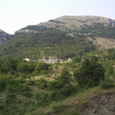
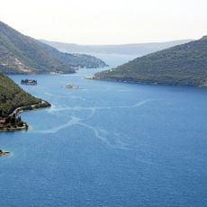
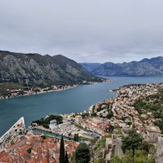
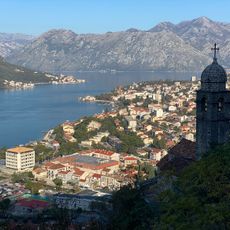
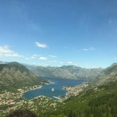
The Natural and Culturo-Historical Region of Kotor is a UNESCO World Heritage Site at Kotor Bay in Montenegro, where steep limestone cliffs meet medieval towns and a natural harbor along the Adriatic coast. The bay is enclosed by mountains that drop to the water, while historic town cores with stone buildings and fortifications form the structure of the area.
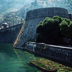
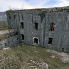
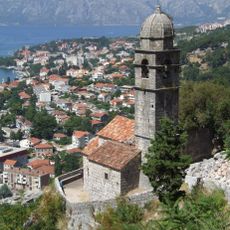
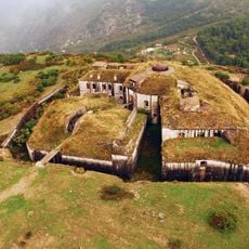
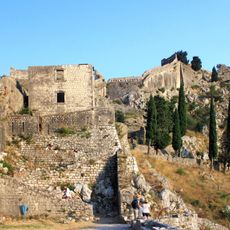
The region was an important harbor controlled by Romans, Venetians, and Austrians, reflected in different phases of fortifications stretching from the coast to mountain peaks. This changing rule left traces in architecture and town layouts that remain visible today.
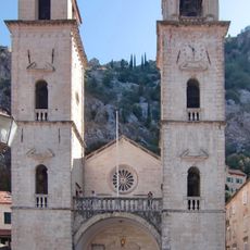
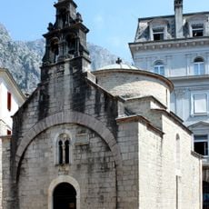
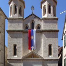
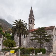
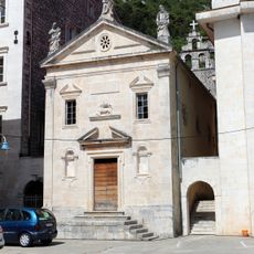
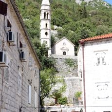
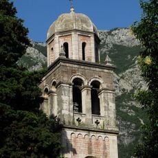
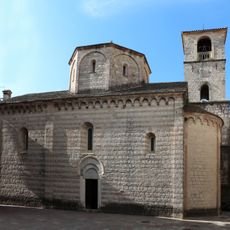
The Cathedral of Saint Tryphon shapes the town with its Romanesque style and holds medieval religious artworks that reflect trade connections across distant lands. The narrow streets of the old town still show how residents and merchants lived and worked in this harbor over centuries.
The region is reachable from three airports: Tivat is closest, while Podgorica and Dubrovnik are accessible from north and south. The terrain with steep slopes means walks vary from flat ground to uphill paths, so bring sturdy footwear and water.
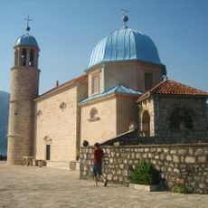
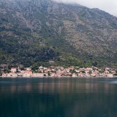
Two small islets in the bay contain a monastery from the 6th century and a church from the 15th century, showing people have valued this spot for more than a millennium and a half. These islands remain visible from town and tell a longer story than most buildings on shore.
The community of curious travelers
AroundUs brings together thousands of curated places, local tips, and hidden gems, enriched daily by 60,000 contributors worldwide.