Gao, Ancient trading center in eastern Mali
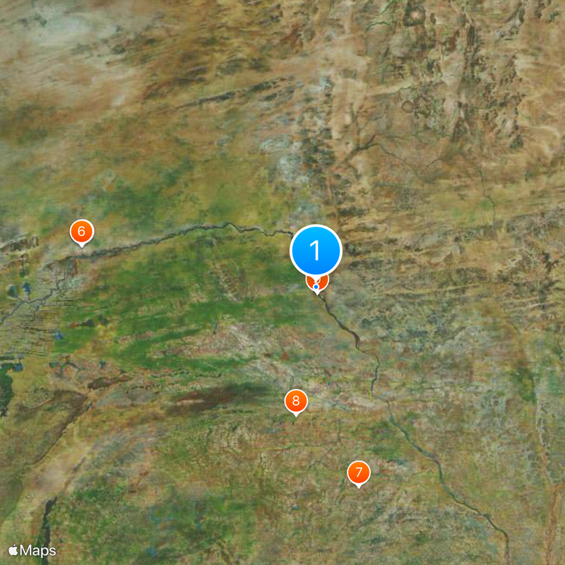
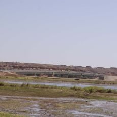
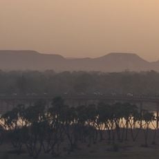
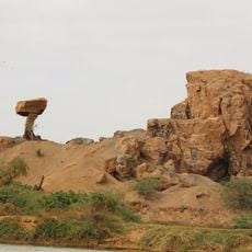
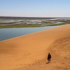
The commune sits on the eastern bank of the Niger at 226 meters elevation, serving as a junction between the Sahara and the southern Sahel zones. Large steamers connect it upstream to places farther west, creating an important route for goods and people.
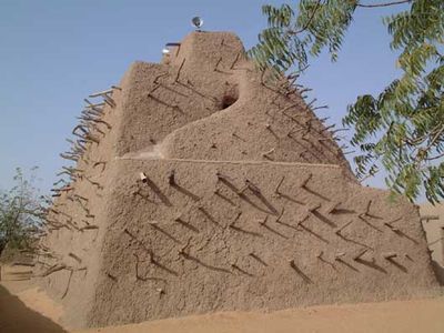
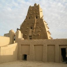
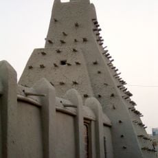
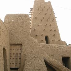
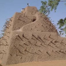
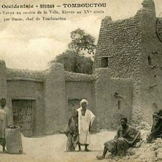
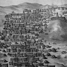
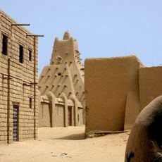
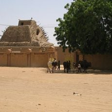
A fishing settlement arose here in the 7th century and later grew into a trading hub that became the capital of a large empire in the 11th century. In the 15th century, a ruler commissioned a major tomb that survives to this day.
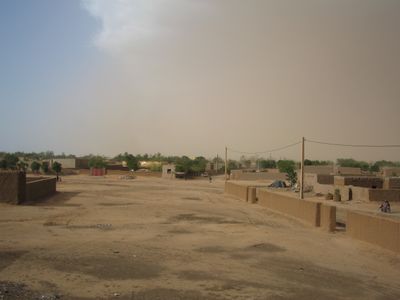
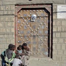
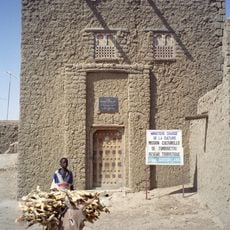
The name comes from a word meaning 'to hunt' or 'to gather', pointing back to the early fishermen and traders who settled along the riverbank. Today the old quarter's mud-brick buildings and market districts draw visitors wanting to see daily life shaped by the Sahara and the river.
The road to Bamako is paved and stretches 1200 kilometers through changing landscapes. Travelers find fuel stations and small rest stops along the route, with the best conditions during the dry season.
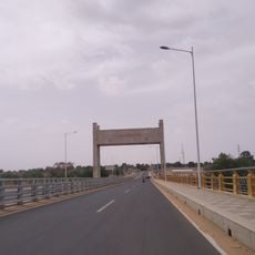
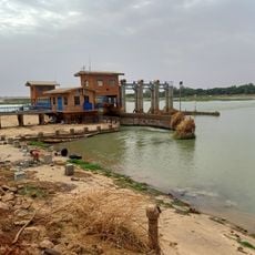
Before 2006, a ferry shuttled between the banks, and many residents still remember the long waits during high water. The bridge connecting the eastern bank with the western side has fundamentally changed daily routines and the movement of goods.
The community of curious travelers
AroundUs brings together thousands of curated places, local tips, and hidden gems, enriched daily by 60,000 contributors worldwide.