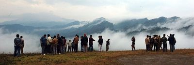
Pangsau Pass, Mountain pass at India-Myanmar border, Arunachal Pradesh.
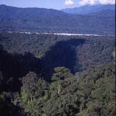
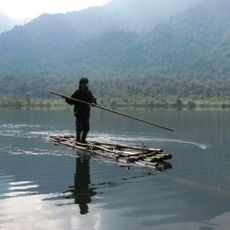
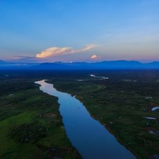
Pangsau Pass is a mountain pass across the Patkai Hills at an elevation of 1,136 meters (3,727 feet), connecting Arunachal Pradesh and Myanmar. The route traverses rugged terrain with dense forests and steep slopes that define the landscape on both sides of the border.
The pass served as a migration route for the Ahom people in the 13th century and later became part of the Stilwell Road during World War II. This historical route connected distant regions and supported military movements during the conflict.
The Pangsau Pass Winter Festival in January brings communities together to celebrate Tangsa Naga tribal dances, crafts, and traditional sports. The event showcases how indigenous groups continue to practice and share their customs in this border region.
The 61-kilometer route from Ledo to Pangsau Pass requires careful navigation due to steep gradients and changing weather conditions. Visitors should prepare with sturdy footwear, weather protection, and plenty of water, as conditions can shift rapidly throughout the day.
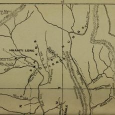
British administrators once planned a railway connection through this pass to Myitkyina, though construction never began. Old survey markers from that era still dot the landscape as reminders of an ambitious project that never came to be.
The community of curious travelers
AroundUs brings together thousands of curated places, local tips, and hidden gems, enriched daily by 60,000 contributors worldwide.