
Ih Nuuruudïn Hotgor
Location: Mongolia
Elevation above the sea: 1,151 m
GPS coordinates: 48.00000,93.50000
Latest update: March 9, 2025 23:50
Khovd
152.4 km
Khangai Mountains
302.4 km
Ubsunur Hollow
265.8 km
Ubsunur Hollow Biosphere Reserve
228.5 km
Otgontenger
306.1 km
Dus-Khol lake
380.4 km
Altai Tavan Bogd National Park
366.9 km
Ustuu-Huree
386.3 km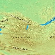
Tannu-Ola mountains
351 km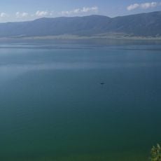
Chagytai Lake
347.3 km
Petroglyphic Complexes of the Mongolian Altai
403.5 km
Tore-Khol Lake
253.6 km
Aldyn-Bulak
396.6 km
Tarvagatai Nuruu National Park
297.9 km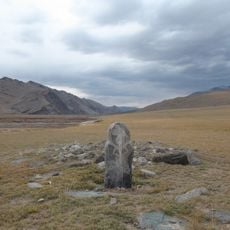
Munkhkhairkhan National Park
134.3 km
Tes River
399.4 km
Tsambagarav Uul National Park
202.2 km
Cheder lake
392 km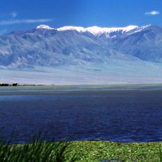
Har Us Nuur National Park
65.6 km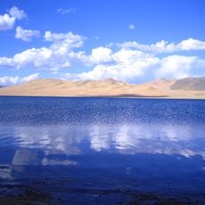
Ulaagchinii Khar Nuur National Park
162.6 km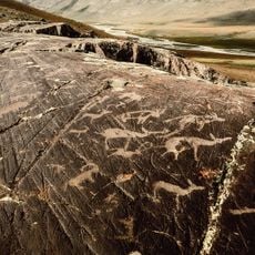
Tsagaan Salaa Rock Paintings
403.5 km
Khadyn Lake
378.5 km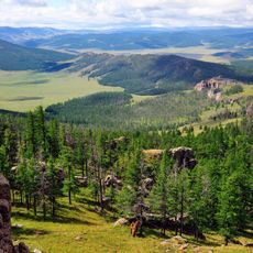
Khan-Khokhi Khyargas Mountain National Park
184.3 km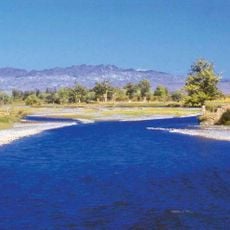
Bulgan Gol-Ikh Ongog National Park
276.1 km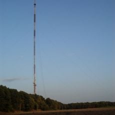
Mongolian highest radio antenna
281.9 km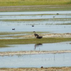
Khar Us Nuur National Park
90.7 km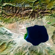
Uvs Nuur Basin
259.5 km
Altan Els
234.6 kmReviews
Visited this place? Tap the stars to rate it and share your experience / photos with the community! Try now! You can cancel it anytime.
Discover hidden gems everywhere you go!
From secret cafés to breathtaking viewpoints, skip the crowded tourist spots and find places that match your style. Our app makes it easy with voice search, smart filtering, route optimization, and insider tips from travelers worldwide. Download now for the complete mobile experience.

A unique approach to discovering new places❞
— Le Figaro
All the places worth exploring❞
— France Info
A tailor-made excursion in just a few clicks❞
— 20 Minutes