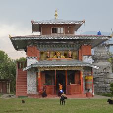
Pathibhara, Village development committee in Taplejung District, Nepal.
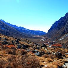
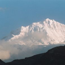
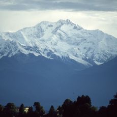
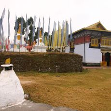
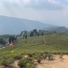
Pathibhara is a settlement in Taplejung District in eastern Nepal spread across varied mountain terrain with multiple communities and farms within its bounds. The area contains hillsides and valleys where homes and agricultural fields are scattered throughout.
The settlement changed from a village development committee to a new administrative structure during Nepal's territorial reform in 2017. This reorganization reshaped local governance throughout the region.
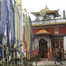
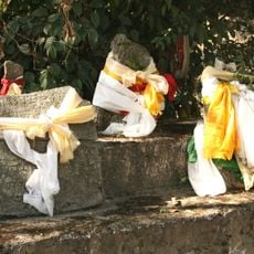
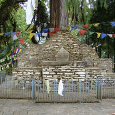
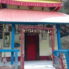
The settlement hosts traditional festivals where residents gather for communal meals and seasonal celebrations that shape community life. These events bring people together throughout the year and reflect the customs of the local population.
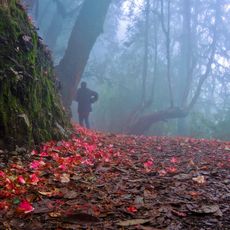
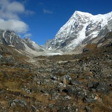
Visitors reach this settlement via established trekking routes from Taplejung, with local guides available to help navigate the mountain terrain. The paths require good fitness and proper gear for mountain hiking.
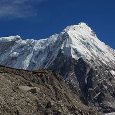
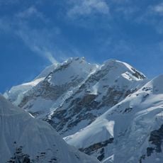
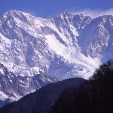
The area spans multiple elevations that allow residents to grow different crops at various altitudes during the farming season. This vertical diversity takes full advantage of the natural mountain conditions.
Location: Taplejung District
GPS coordinates: 27.42944,87.76772
Latest update: December 6, 2025 16:01
Nepal offers photographers an exceptional range of subjects, from the highest mountains on Earth to centuries-old religious sites. The Himalayan range dominates the northern regions, where trekkers head to Everest Base Camp and Annapurna Base Camp. At middle elevations, traditional mountain villages...
Khangchendzonga National Park
59.4 km
Pemayangtse Monastery
49.9 km
Kabru
40.8 km
Rabdentse
50.4 km
Dubdi Monastery
46.2 km
Varsey Rhododendron Sanctuary
43.5 km
Kanchenjunga Conservation Area
35.6 km
Kirat Chuli
58.5 km
Ralang Monastery
57.2 km
Falut
34.8 km
Rathong Glacier
37.1 km
Kabi Lungchok
57.6 km
Sanga Choeling Monastery
47.2 km
Gimmigela Chuli
51.8 km
Norbugang Chorten
44.9 km
Rinchenpong Monastery
54 km
Kanchenjunga West
47.6 km
Manakamana Temple
58.1 km
Todke waterfall
46.3 km
Kangchenjunga South
48 km
Yamatari Glacier
33.7 km
Kokthang
34.3 km
Jannu
38.8 km
Jhopuno
46.3 km
Great Buddha of Ravangla
60.3 km
Singshore Bridge
38.9 km
Sandakphu–Phalut Trek
45.7 km
Tea garden view hand
59.8 kmVisited this place? Tap the stars to rate it and share your experience / photos with the community! Try now! You can cancel it anytime.
Discover hidden gems everywhere you go!
From secret cafés to breathtaking viewpoints, skip the crowded tourist spots and find places that match your style. Our app makes it easy with voice search, smart filtering, route optimization, and insider tips from travelers worldwide. Download now for the complete mobile experience.
A unique approach to discovering new places❞
— Le Figaro
All the places worth exploring❞
— France Info
A tailor-made excursion in just a few clicks❞
— 20 Minutes