Aparri, municipality of the Philippines in the province of Cagayan
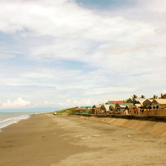
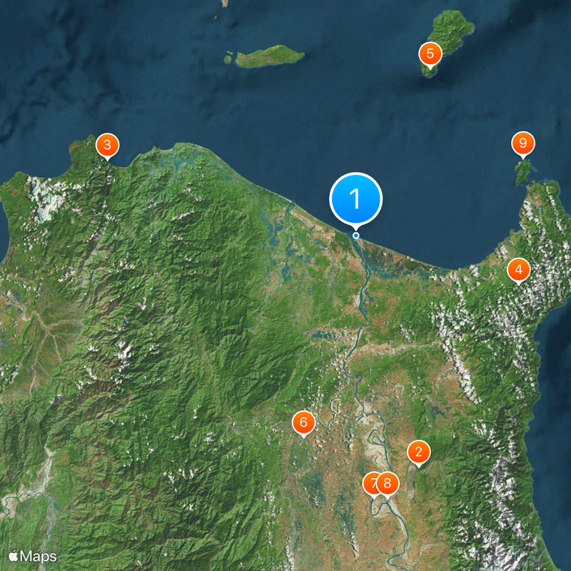
Aparri is a municipality in Cagayan province in the northern part of Luzon in the Philippines. The town sits along the coast and functions as a working port area where fishing boats come and go regularly.
Aparri developed as a trading and fishing port with roots in colonial times and grew as a key connection point for the region. The settlement expanded over time while maintaining its role as a coastal hub for commerce and maritime activity.
This is a laid-back coastal town with basic services and a local feel typical of provincial Philippines. Walking around and using local transportation will help you get oriented and see what the place has to offer.
The community of curious travelers
AroundUs brings together thousands of curated places, local tips, and hidden gems, enriched daily by 60,000 contributors worldwide.

Callao Cave
75.5 km
Patapat Viaduct
82 km
Cagua Volcano
53.6 km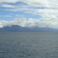
Camiguin de Babuyanes
58 km
Basilica of Our Lady of Piat
65.7 km
Buntun Bridge
83 km
Tuguegarao Cathedral
83.4 km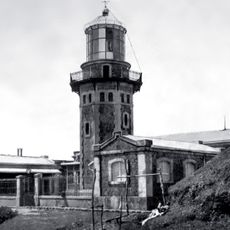
Cape Engaño Lighthouse
58.4 km
Magapit Suspension Bridge
26.5 km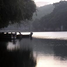
Peñablanca Protected Landscape and Seascape
92.9 km
Lal-lo Church
17.8 km
Malaueg Church
64.9 km
Kabigan Falls
85.6 km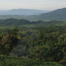
Magapit Protected Landscape
17.6 km
Kalbario-Patapat Natural Park
78.8 km
Piddig Church
99.6 km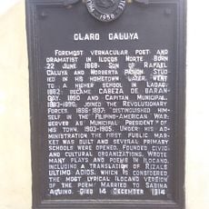
Claro Caluya historical marker
99.7 km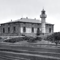
Phare de Linao Point
4.1 km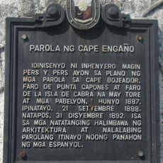
Cape Engaño Lighthouse historical marker
58.3 km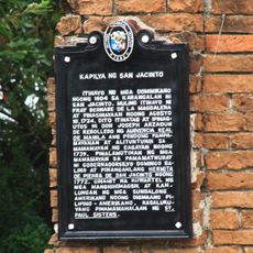
Chapel of San Jacinto historical marker
83 km
St. Paul University Philippines historical marker
83 km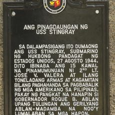
The Landing Site of the USS Stingray historical marker
90.4 km
Lalloc–Tocolana historical marker
17.8 km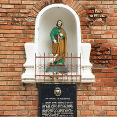
The Cathedral of Tuguegarao historical marker
83.4 km
Lalloc–Nueva Segovia historical marker
17.8 km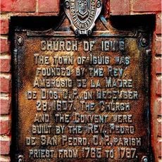
Church of Iguig historical marker
68.4 km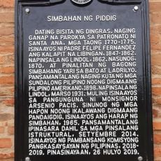
Church of Piddig historical marker
99.6 km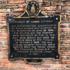
Church of Camalaniugan historical marker
10.4 kmDiscover hidden gems everywhere you go!
From secret cafés to breathtaking viewpoints, skip the crowded tourist spots and find places that match your style. Our app makes it easy with voice search, smart filtering, route optimization, and insider tips from travelers worldwide. Download now for the complete mobile experience.

A unique approach to discovering new places❞
— Le Figaro
All the places worth exploring❞
— France Info
A tailor-made excursion in just a few clicks❞
— 20 Minutes
