
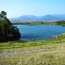
Dinalungan, municipality of the Philippines in the province of Aurora
Location: Aurora
Inception: June 18, 1966
Elevation above the sea: 44 m
Shares border with: Maddela, Dipaculao, Casiguran, Nagtipunan
Website: http://dinalungan.net
GPS coordinates: 16.10000,121.76667
Latest update: April 10, 2025 17:58
Aurora Memorial National Park
66.9 km
Bayombong Cathedral
78.4 km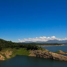
Pantabangan–Carranglan Watershed Forest Reserve
70.4 km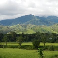
Mount Guiwan
54.2 km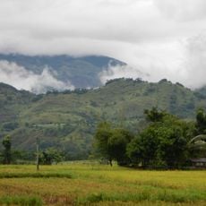
Salinas Natural Monument
85.5 km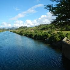
Casecnan Protected Landscape
34.8 km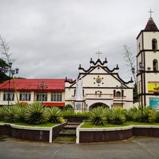
Saint Catherine of Siena Parish Church
77.5 km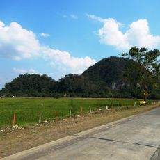
Quirino Protected Landscape
30.9 km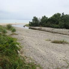
Dinadiawan River Protected Landscape
1.5 km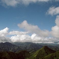
Mount Pulag National Park
98.2 km
Baler Church
43.8 km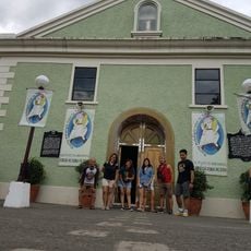
Doña Aurora Aragon-Quezon House
43.8 km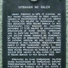
Church of Baler historical marker
43.8 km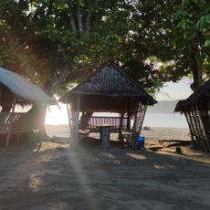
Casapsapan Beach
49.6 km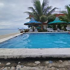
La Sunshine
6.1 km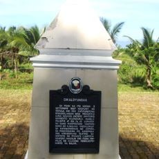
Dikaloyungan historical marker
45.3 km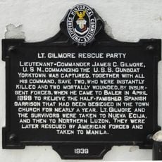
Lt. Gilmore Rescue Party historical marker
43.8 km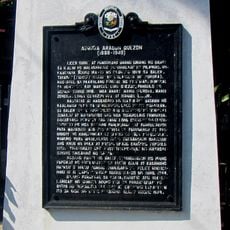
Aurora Aragon Quezon historical marker
43.8 km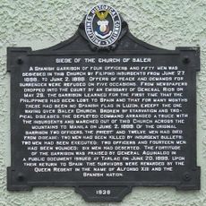
Siege of the Church of Baler historical marker
43.8 km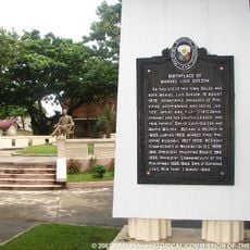
Birthplace of Manuel Luis Quezon historical marker
43.8 km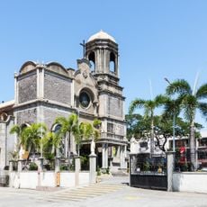
Cathedral of Saint Joseph the Worker
90 km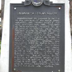
Battle of Balete Pass historical marker
89.6 km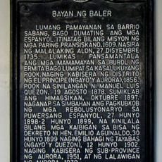
Town of Baler historical marker
43.8 km
Diva Sunrise Beach Resort
5.5 km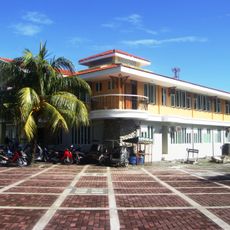
Baler Municipal Hall
43.8 km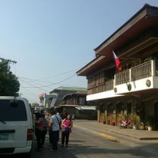
Balay Na Santiago
69.9 km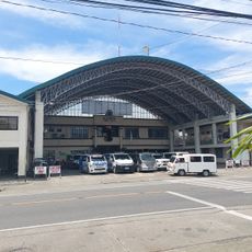
Bayombong Municipal Hall
78.4 km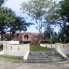
Quezon Park
43.8 kmReviews
Visited this place? Tap the stars to rate it and share your experience / photos with the community! Try now! You can cancel it anytime.
Discover hidden gems everywhere you go!
From secret cafés to breathtaking viewpoints, skip the crowded tourist spots and find places that match your style. Our app makes it easy with voice search, smart filtering, route optimization, and insider tips from travelers worldwide. Download now for the complete mobile experience.

A unique approach to discovering new places❞
— Le Figaro
All the places worth exploring❞
— France Info
A tailor-made excursion in just a few clicks❞
— 20 Minutes