Morong, municipality of the Philippines in the province of Bataan
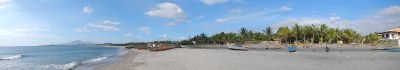
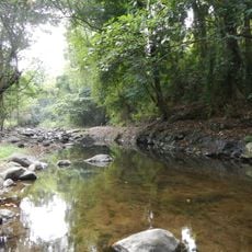
Morong is a coastal municipality in Bataan province on the Philippines, situated along the South China Sea. The town comprises five barangays and features a varied landscape with flat coastal areas, inland hills, and streams that flow through the territory.
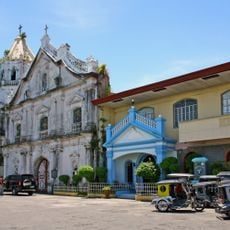
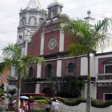
The town was originally called Bayandati and formed part of a larger settlement before residents relocated to gain more farmland. French friars established it as a parish in 1578, and the area later served as a gathering place for fighters during the Philippine independence struggle.
Morong's name comes from its early history, when it was originally called Bayandati before residents relocated to find more farmland. Today, visitors can observe traditional crafts like vinegar production from nipa palm nuts and basketry from jungle vines, which show how local skills have been passed down through generations.
The town is readily accessible by road and can be navigated by tricycles or jeepneys connected to the main highway leading to Balanga and Subic Bay. The best time to visit is the dry season from November to April, when weather is more stable and beach and boat activities are more comfortable.
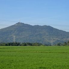
Near Morong sits the Bataan Nuclear Power Plant, which was constructed to generate electricity but is not currently in operation. This dormant facility remains a reminder of an ambitious industrial plan and could theoretically power the entire region if reactivated.
The community of curious travelers
AroundUs brings together thousands of curated places, local tips, and hidden gems, enriched daily by 60,000 contributors worldwide.