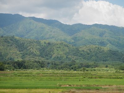
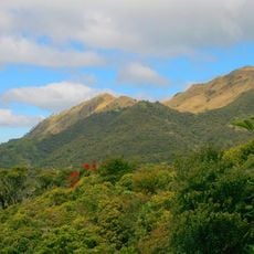
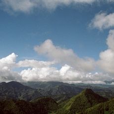
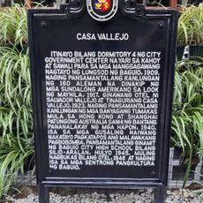
Caraballo Mountains, Mountain range in central Luzon, Philippines.
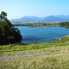
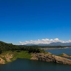
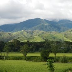
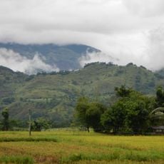
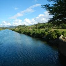
The Caraballo Mountains form a ridge system in central Luzon with forested slopes and valleys that rise to roughly 1,680 meters at their highest points. The range features a mix of dense vegetation, agricultural patches, and natural waterways that drain across the landscape.
The range took shape through geological processes and functioned as a natural divider that influenced how people moved and settled across the region over time. This physical separation shaped patterns of community development on either side.
The mountains are home to communities who practice age-old farming methods suited to the slopes, growing crops and raising animals in ways passed down through generations. The land remains central to their way of life and identity in this region.
The mountains are accessible by the Pangasinan-Nueva Ecija Road, with travel time from San Nicolas downtown taking roughly ninety minutes. Visiting during drier months makes road travel easier and more comfortable.
The range contains the source springs of the Cagayan River, the longest river in the country, and bridges two major mountain systems together. This connection makes it crucial to water flow across much of the island.
The community of curious travelers
AroundUs brings together thousands of curated places, local tips, and hidden gems, enriched daily by 60,000 contributors worldwide.