
Santo Niño, municipality of the Philippines in the province of Samar
Location: Samar
Elevation above the sea: 10 m
Shares border with: Calbayog
GPS coordinates: 11.92630,124.44920
Latest update: March 31, 2025 14:33

San Juanico Bridge
89.8 km
Biliran
45.9 km
Calbayog Cathedral
22.3 km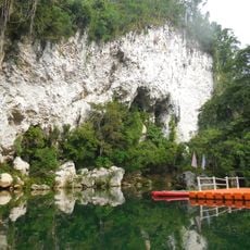
Samar Island Natural Park
83.8 km
Capul Church
62.4 km
Leyte Provincial Capitol
96.5 km
Capul Island Lighthouse
70.3 km
Biliran Watchtower
51.6 km
Langun-Gobingob Cave
73 km
Our Lady of the Annunciation Cathedral Parish
66.9 km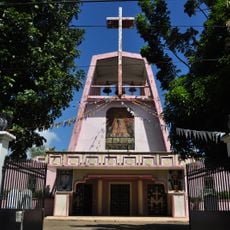
Naval Cathedral
41 km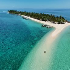
Kalanggaman Island Beach
92.9 km
Golden Sands
84.4 km
Magasang Rock Formation
86.2 km
Agta Beach
33.5 km
Church of Capul historical marker
62.4 km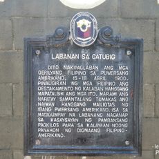
Battle of Catubig historical marker
84.9 km
Bituon Beach Resort
90.8 km
San Juan Beach
95.9 km
Malapascua Island Lighthouse
74.7 km
University of Eastern Philippines historical marker
69.1 km
Biliran Watchtower historical marker
51.6 km
Capul Lighthouse historical marker
70.3 km
Cathedral of Calbayog historical marker
22.3 km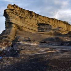
Magsapad Rock Formation
86 km
Caranas Rock Formation
84.8 km
Capitol Building of the Philippines historical marker
96.5 km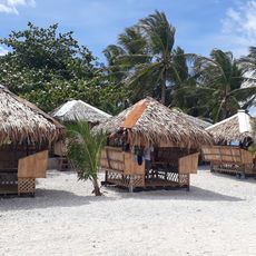
Limpiado Beach
44.5 kmVisited this place? Tap the stars to rate it and share your experience / photos with the community! Try now! You can cancel it anytime.
Discover hidden gems everywhere you go!
From secret cafés to breathtaking viewpoints, skip the crowded tourist spots and find places that match your style. Our app makes it easy with voice search, smart filtering, route optimization, and insider tips from travelers worldwide. Download now for the complete mobile experience.

A unique approach to discovering new places❞
— Le Figaro
All the places worth exploring❞
— France Info
A tailor-made excursion in just a few clicks❞
— 20 Minutes