
Racat Beach, Strand auf den Philippinen
Location: Cagayan
Elevation above the sea: 4 m
GPS coordinates: 18.41306,122.13222
Latest update: April 22, 2025 02:15
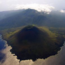
Smith Volcano
127.4 km
Callao Cave
85.5 km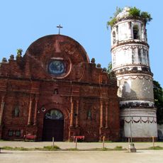
Tumauini Church
131.2 km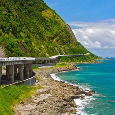
Patapat Viaduct
131.8 km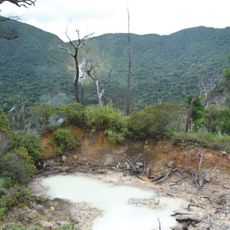
Cagua Volcano
21.3 km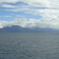
Camiguin de Babuyanes
54.9 km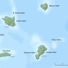
Babuyan Claro
125.2 km
Basilica of Our Lady of Piat
98.1 km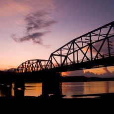
Buntun Bridge
100.5 km
Tuguegarao Cathedral
98.6 km
Cape Engaño Lighthouse
18.6 km
Magapit Suspension Bridge
58.4 km
Peñablanca Protected Landscape and Seascape
89.2 km
Lal-lo Church
55.1 km
Malaueg Church
104.6 km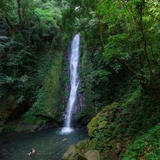
Kabigan Falls
135.3 km
Magapit Protected Landscape
54.8 km
Kalbario-Patapat Natural Park
129.3 km
Phare de Linao Point
56.5 km
Church of Tumauini historical marker
131.3 km
Cape Engaño Lighthouse historical marker
18.6 km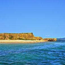
Rona Island
12.8 km
Chapel of San Jacinto historical marker
98.6 km
Tabuk Cathedral
133.1 km
St. Paul University Philippines historical marker
98.6 km
The Cathedral of Tuguegarao historical marker
98.7 km
Lalloc–Tocolana historical marker
55.2 km
Lalloc–Nueva Segovia historical marker
55.2 kmVisited this place? Tap the stars to rate it and share your experience / photos with the community! Try now! You can cancel it anytime.
Discover hidden gems everywhere you go!
From secret cafés to breathtaking viewpoints, skip the crowded tourist spots and find places that match your style. Our app makes it easy with voice search, smart filtering, route optimization, and insider tips from travelers worldwide. Download now for the complete mobile experience.

A unique approach to discovering new places❞
— Le Figaro
All the places worth exploring❞
— France Info
A tailor-made excursion in just a few clicks❞
— 20 Minutes