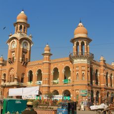
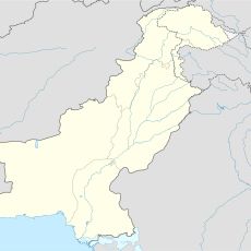
Dera Ismail Khan District, Administrative district in Khyber Pakhtunkhwa, Pakistan
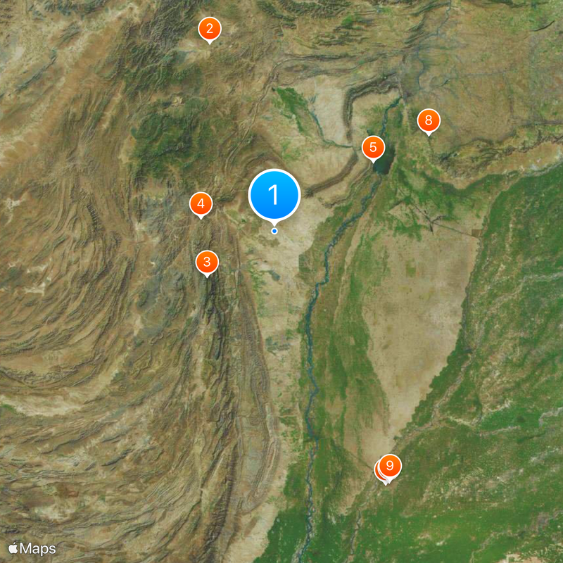
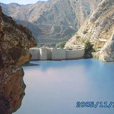
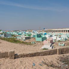
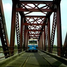
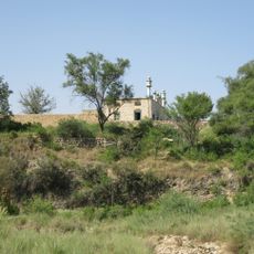
Dera Ismail Khan is an administrative district in Khyber Pakhtunkhwa province stretching across about 9,334 square kilometers along the Indus River. The eastern plains are fertile and support farming, while the western areas have clay soils suited to different land use.
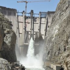
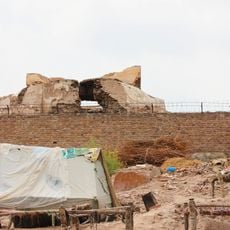
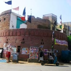
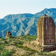
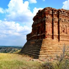
British forces took control of the district in 1849 following the Second Anglo-Sikh War and established it as an administrative zone in British India. This reorganization set the administrative framework that continues today.
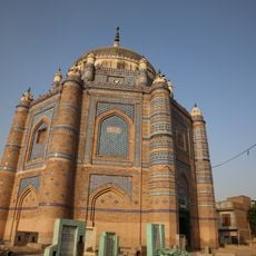
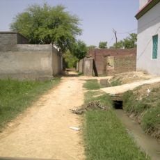
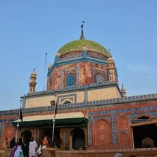
Saraiki speakers form the majority here and shape daily life through their customs, food, and social gatherings. Pashto-speaking communities are also present, creating a mixed cultural landscape where different traditions coexist.
The district is divided into six administrative tehsils including D.I. Khan, Kulachi, Paharpur, Paroa, Daraban, and Drazanda, with each further subdivided into smaller local units. Understanding this structure helps visitors navigate and locate specific areas.
Local artisans create specialized lacquered woodwork and glasswork that have gained recognition beyond the region's markets. Camel and sheep herding remain equally important economic activities that define pastoral traditions here.
The community of curious travelers
AroundUs brings together thousands of curated places, local tips, and hidden gems, enriched daily by 60,000 contributors worldwide.