Chest opened
+${chestReward.xp} XP
Explorer
NOUVEAU ×${chestReward.collectible.quantity}
tapez pour fermer
Chest locked

Open chests in the app

Around Us is built for your phone — chests unlock when you walk, explore and capture nearby places.

Enable Location

We need your location to show you interesting places around you

Discover nearby places

Find interesting locations and hidden gems around you

Precise directions

Get accurate directions and distances to places

Your location is never shared with other users. It's only used when you tap the location button.

Log in to your account

Start exploring — it's free

Trusted by 72,894 travelers worldwide

Continue with Google
Continue with Apple
or

We will send you a code to connect

By continuing, you accept our Terms and Conditions and our Privacy Policy

Check your inbox

We've sent a pincode in your inbox. Please enter the code below.

Diamer District
Discussion Reviews Photo
12k Popularity

Diamer District, Administrative district in Gilgit Division, Pakistan

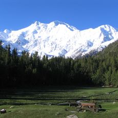
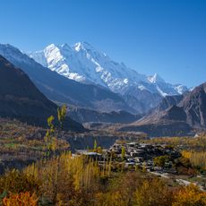
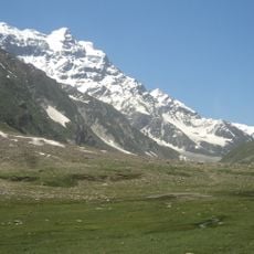
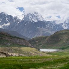
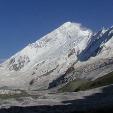
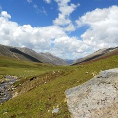
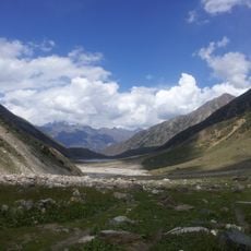
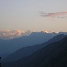
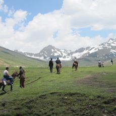
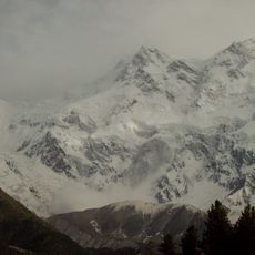
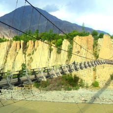
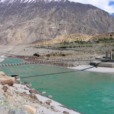
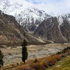
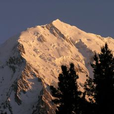
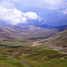
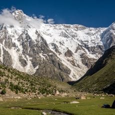
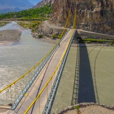
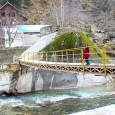
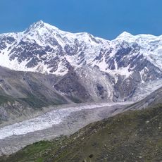
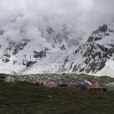
Diamer District spreads across mountainous terrain in northern Pakistan, characterized by steep valleys and high peaks throughout the landscape. The Karakoram Highway runs through its center, linking the region to nearby areas and forming a key route across the high mountains.

The area came under British colonial rule in 1893, when an administrative system was established with a Political Agent appointed to oversee operations. This arrangement shaped how the region was managed for many decades afterward.

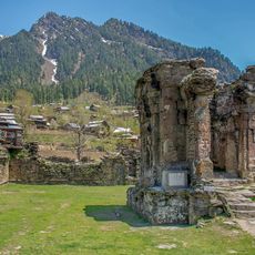
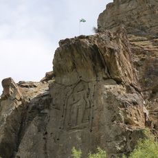
The district is home to ancient rock carvings that show Buddhist and Greco-Buddhist influences from centuries of mountain trade. These carvings tell the story of travelers and merchants who moved through the high passes over time.

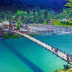
The Karakoram Highway is the main way to move through the district, connecting different villages and towns along its route. Visitors should prepare for mountain terrain, limited facilities in remote areas, and seasonal road conditions that change throughout the year.

The district stands out as the only Sunni-majority region within Gilgit-Baltistan territory. This religious distinction makes it noticeably different from the surrounding areas that have different religious compositions.

The community of curious travelers

AroundUs brings together thousands of curated places, local tips, and hidden gems, enriched daily by 60,000 contributors worldwide.

Start exploring
Location
Capital city
Chilas
GPS coordinates
35.43494,73.94211
Latest update
December 7, 2025 20:47
Reviews
Share your experience

No review yet

Discussions
Start a discussion...

No discussion yet

« Diamer District - Administrative district in Gilgit Division, Pakistan » is provided by Around Us (aroundus.com). Images and texts are derived from Wikimedia project under a Creative Commons license. You are allowed to copy, distribute, and modify copies of this page, under the conditions set by the license, as long as this note is clearly visible.

Discover hidden gems everywhere you go!

From secret cafés to breathtaking viewpoints, skip the crowded tourist spots and find places that match your style. Our app makes it easy with voice search, smart filtering, route optimization, and insider tips from travelers worldwide. Download now for the complete mobile experience.

Around Us App Screenshot

A unique approach to discovering new places

Le Figaro

All the places worth exploring

France Info

A tailor-made excursion in just a few clicks

20 Minutes

Around Us
Travel Guide & Maps
Download

Send to your phone

QR Code
1

Open the camera app on your mobile.

2

Point at the QR code with your camera. A notification will appear.

3

Tap the notification to open the link.