Dokri Taluka, taluka in Sindh, Pakistan
Location: Larkana District
Inception: 1906
Elevation above the sea: 39 m
GPS coordinates: 27.37472,68.09722
Latest update: March 9, 2025 03:23
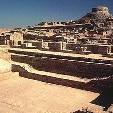
Mohenjo-daro
7.1 km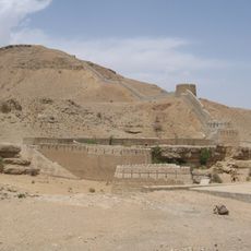
Ranikot Fort
166.9 km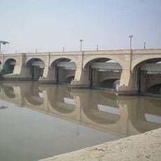
Sukkur Barrage
81.9 km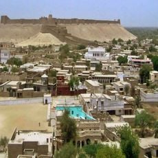
Kot Diji
61.3 km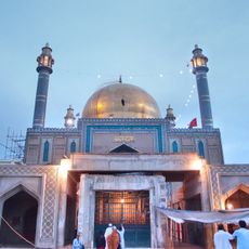
Shrine of Lal Shahbaz Qalandar
108.9 km
Bhutto family mausoleum
42.8 km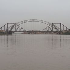
Lansdowne Bridge
85.8 km
Brahmanabad
179.5 km
Kirthar National Park
248.6 km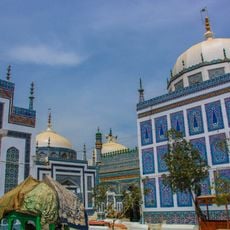
Shrine of Shah Abdul Latif Bhittai
179 km
Faiz Mahal
68.4 km
Shrine at Odero Lal
191.9 km
Bhong Mosque
213.2 km
Sadh Belo
84.9 km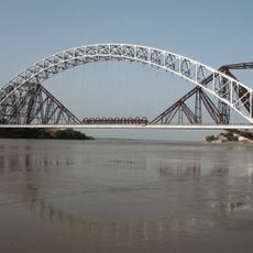
Ayub Bridge
85.8 km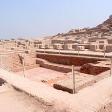
Great Bath, Mohenjo-daro
6.5 km
Bukkur
85.8 km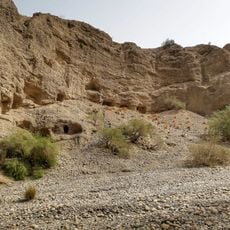
Gondrani
216.6 km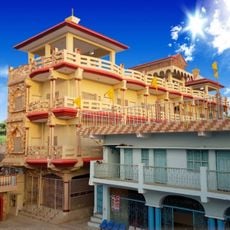
Shadani Darbar
153.6 km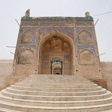
Jamia Mosque
95.4 km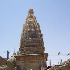
Shiva Mandir Johi
90.2 km
Thul Mir Rukan
102.4 km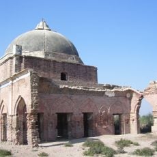
Gobindram Darbar
162.9 km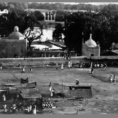
Manzilgah
85 km
Karezat
89.6 km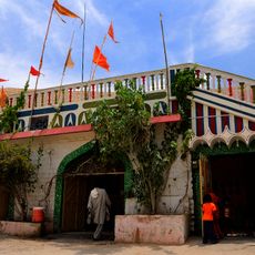
Kalka Cave Temple
86.9 km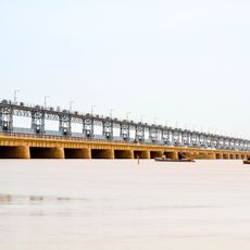
Kotri Barrage
216.2 km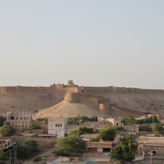
Kot Diji Fort
60.3 kmReviews
Visited this place? Tap the stars to rate it and share your experience / photos with the community! Try now! You can cancel it anytime.
Discover hidden gems everywhere you go!
From secret cafés to breathtaking viewpoints, skip the crowded tourist spots and find places that match your style. Our app makes it easy with voice search, smart filtering, route optimization, and insider tips from travelers worldwide. Download now for the complete mobile experience.

A unique approach to discovering new places❞
— Le Figaro
All the places worth exploring❞
— France Info
A tailor-made excursion in just a few clicks❞
— 20 Minutes