
Danyor, town in Pakistan
Location: Gilgit Tehsil
Elevation above the sea: 1,510 m
GPS coordinates: 35.92056,74.37833
Latest update: March 3, 2025 10:18
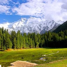
Fairy Meadows
62.1 km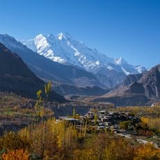
Rakaposhi
26.6 km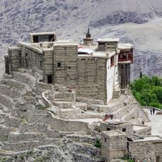
Baltit Fort
52.1 km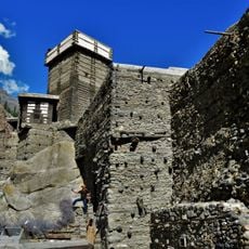
Altit Fort
51.9 km
Ultar
60.8 km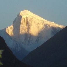
Spantik
54.9 km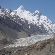
Shispare
63.9 km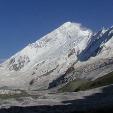
Diran
34.2 km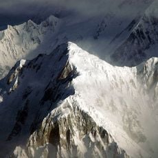
Sangemarmar Sar
58.6 km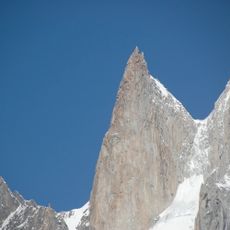
Ladyfinger Peak
57.6 km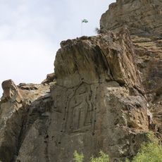
Kargah Buddha
10.5 km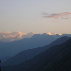
Haramosh Peak
47.7 km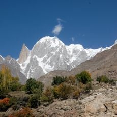
Hunza Peak
59.2 km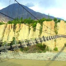
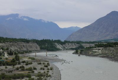
Danyor Bridge
726 m
Malubiting
45.8 km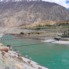
Bunji Bridge
30.7 km
Kutia Lungma Glacier
56.3 km
Bojohagur Duanasir
62.9 km
Rush Peak
54.5 km
Miar Peak
42.7 km
Phuparash Peak
45 km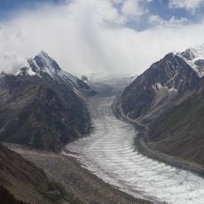
Barpu Glacier
50.7 km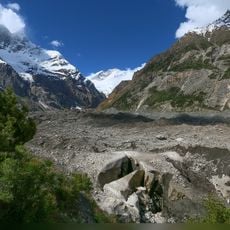
Muchiohul Glacier
53.9 km
Minapin Glacier
34.5 km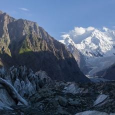
Buāltar Glacier
45.1 km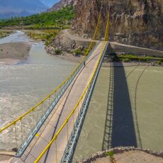
Kanchey Bridge
58 km
Chumar Bakhoor
43.3 km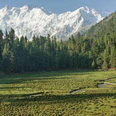
Fairy Meadows National Park
61.5 kmReviews
Visited this place? Tap the stars to rate it and share your experience / photos with the community! Try now! You can cancel it anytime.
Discover hidden gems everywhere you go!
From secret cafés to breathtaking viewpoints, skip the crowded tourist spots and find places that match your style. Our app makes it easy with voice search, smart filtering, route optimization, and insider tips from travelers worldwide. Download now for the complete mobile experience.

A unique approach to discovering new places❞
— Le Figaro
All the places worth exploring❞
— France Info
A tailor-made excursion in just a few clicks❞
— 20 Minutes