Māzhwa Ghar, summit in Pakistan
Location: Balochistan
Elevation above the sea: 2,629 m
GPS coordinates: 31.39639,69.11109
Latest update: May 30, 2025 20:38

Quaid-e-Azam Residency
173.8 km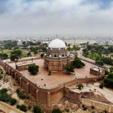
Tomb of Shah Rukn-e-Alam
262.1 km
Forward Operating Base Chapman
230.3 km
Takht-e-Sulaiman
84.6 km
Gomal Zam Dam
106.9 km
Ghazni Minarets
249.6 km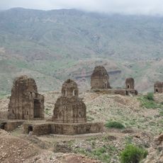
Kafir Kot
243.2 km
Citadel of Ghazni
248.2 km
Multan Cantonment
260.3 km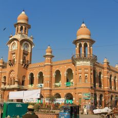
Ghanta Ghar
261.8 km
Pirak
249.1 km
Ziarat Juniper Forest
172.2 km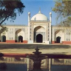
Shahi Eid Gah Mosque
262.1 km
Palace of Sultan Mas'ud III
249.7 km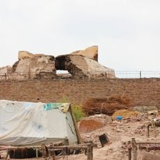
Prahladpuri Temple, Multan
262 km
Band E Sardeh Dam
216 km
Quetta Cantonment
236.6 km
Forward Operating Base Arian
243.7 km
Quetta Fort
240.4 km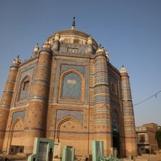
Tomb of Shah Ali Akbar
258.3 km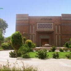
Multan Arts Council
260.3 km
Cathedral of the Holy Redeemer
259.8 km
Bannu Cantonment
226.1 km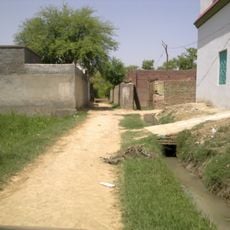
Khalid Abad
211.4 km
Qalat City Fort
223.2 km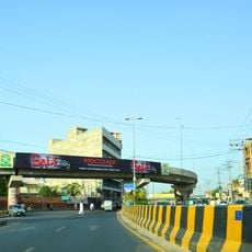
Nishtar Chowk Flyover
260.5 km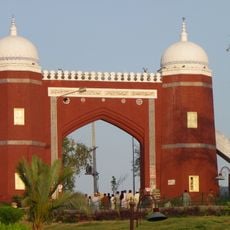
Bab-e-Qasim
262.1 km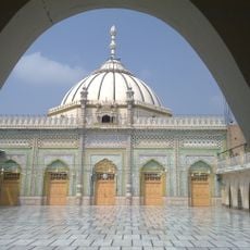
Thal Gumbad Mosque
257.5 kmReviews
Visited this place? Tap the stars to rate it and share your experience / photos with the community! Try now! You can cancel it anytime.
Discover hidden gems everywhere you go!
From secret cafés to breathtaking viewpoints, skip the crowded tourist spots and find places that match your style. Our app makes it easy with voice search, smart filtering, route optimization, and insider tips from travelers worldwide. Download now for the complete mobile experience.

A unique approach to discovering new places❞
— Le Figaro
All the places worth exploring❞
— France Info
A tailor-made excursion in just a few clicks❞
— 20 Minutes