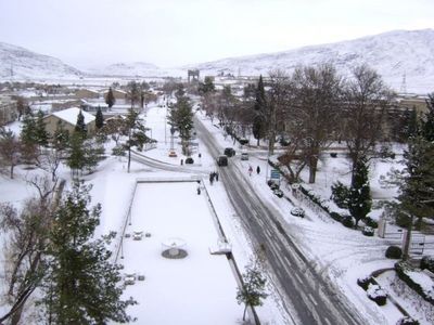
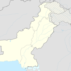
Quetta Cantonment, Military cantonment in Quetta District, Pakistan.
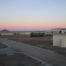
Quetta Cantonment is a military installation near Quetta city that combines residential neighborhoods with administrative centers and armed forces facilities. The entire compound operates under strict security measures while also functioning as a residential community for thousands of civilians.
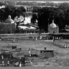
The cantonment was founded in 1900 by the British military as a garrison town, establishing organized defense infrastructure in the Balochistan region. After Pakistan's independence, the Pakistani armed forces took control and expanded the facility over the following decades.
The cantonment maintains distinct military traditions while supporting 92,130 civilian residents through educational institutes, medical facilities, and community gathering spaces.
The site includes water supply systems, schools, a hospital, and parks available to residents and visitors. Be aware that security protocols may restrict access and movement throughout the compound.
The installation sits at over 1,600 meters elevation, making it one of Pakistan's highest military bases. This geographic position significantly influences the local climate and living conditions throughout the year.
The community of curious travelers
AroundUs brings together thousands of curated places, local tips, and hidden gems, enriched daily by 60,000 contributors worldwide.