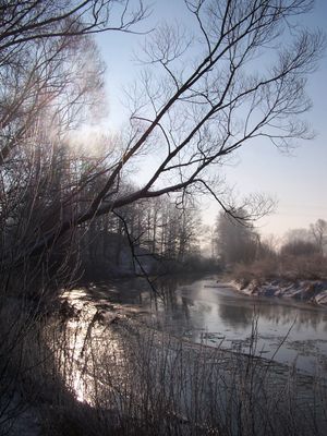
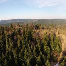
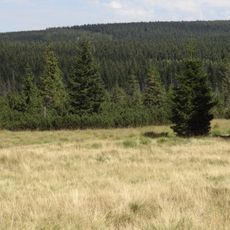
Kwisa, River in Lower Silesian Voivodeship, Poland
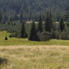
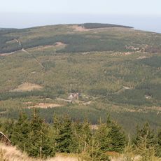
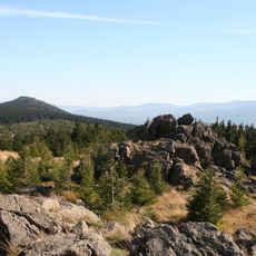
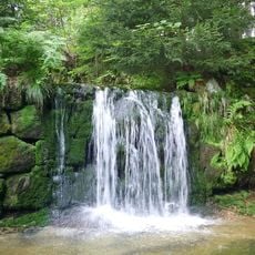
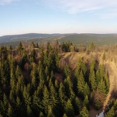
The Kwisa flows approximately 127 kilometers through southwestern Poland, originating in the Jizera Mountains before joining the Bóbr as a tributary. Along its course, it passes through multiple settlements and agricultural areas that depend on its waters.
In the 10th century, this river marked a boundary between the Margravate of Meissen and Polish lands under Duke Mieszko I. This border position shaped regional development for generations to come.
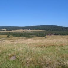
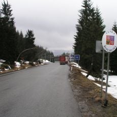
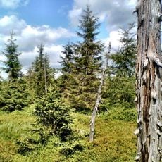
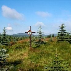
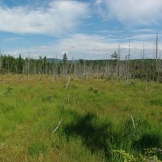
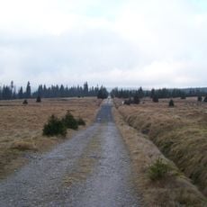
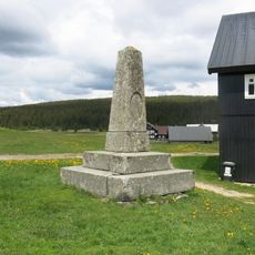
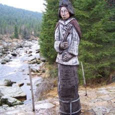
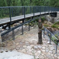
The river connects several towns including Świeradów-Zdrój, Mirsk, and Gryfów Śląski, weaving through local communities. People in these areas spend time along the banks for recreation and outdoor activities throughout the year.
Access to the river is possible from several nearby towns along its course, particularly during warmer months when conditions are most favorable. Wearing comfortable footwear helps when exploring the banks and nearby trails.
After World War II, this river was considered as a possible Polish-German border during territorial talks at the Potsdam Conference, though it was not ultimately chosen. This discussion shows how strategically important its location was to regional negotiations.
The community of curious travelers
AroundUs brings together thousands of curated places, local tips, and hidden gems, enriched daily by 60,000 contributors worldwide.