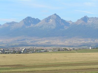
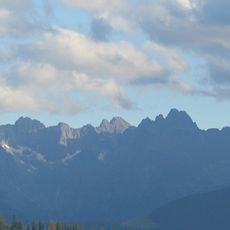
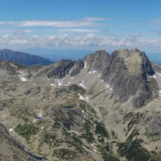
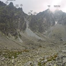
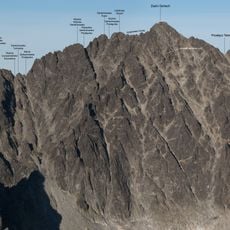
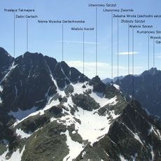
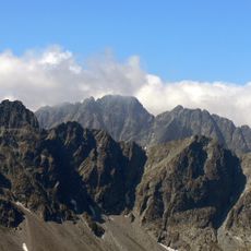
Eastern Tatras, Mountain range in southern Poland and northern Slovakia.
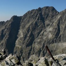
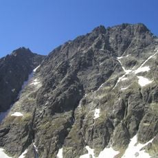
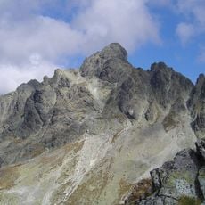
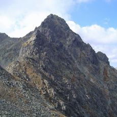
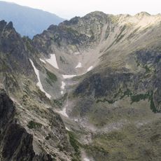
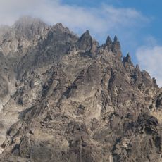
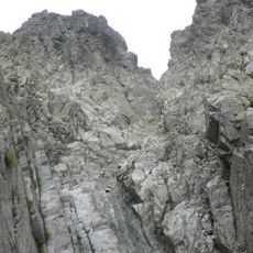
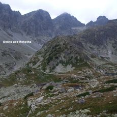
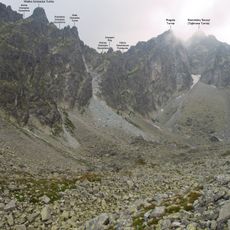
The Eastern Tatras extend roughly 16 miles (26 kilometers) along the border between Slovakia and Poland, featuring steep rocky peaks and deep glacial valleys across an area of about 132 square miles (341 square kilometers).
The region became part of Europe's first transfrontier national park in 1948, establishing a framework for cross-border conservation efforts and protecting the diverse mountain ecosystems from development pressures over decades.
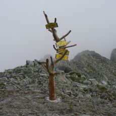
The Goral people, an ethnographic group inhabiting these highlands, maintain traditional practices including distinctive folk music, wooden alpine architecture, and handicrafts that reflect centuries of adaptation to mountain life.
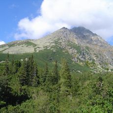
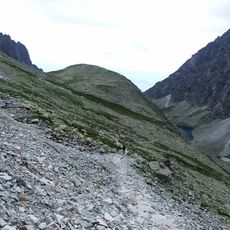
Visitors should plan trips between late spring and early autumn for hiking, while winter sports enthusiasts will find ski resorts around Tatranská Lomnica and Zakopane operational from December through March with proper snow equipment required.
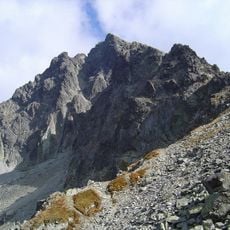
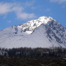
Lomnický štít, the range's second highest peak at 8,638 feet (2,633 meters), can be reached by cable car, offering accessible panoramic views across the alpine terrain without technical climbing skills.
Elevation above the sea: 2,655 m
GPS coordinates: 49.17200,20.14200
Latest update: December 2, 2025 10:04
Slovakia offers a variety of natural and cultural sites, from medieval castles to the peaks of the Tatra Mountains. The country features historic cities such as Bratislava and Košice, national parks with caves and waterfalls, and Gothic religious monuments. The castles of Spiš, Bojnice, and Orava...
High Tatras
866 m
Gerlachovský štít
1.1 km
Východná Vysoká
443 m
Polski Grzebień
207 m
Bradavica
998 m
Zadný Gerlach
999 m
Svišťový štít
1.3 km
Mały Gerlach
1.2 km
Mittlere Gerlsdorfer Spitze
1.1 km
Dzika Turnia
714 m
Lavínový štít
941 m
Litworowy Szczyt
896 m
Velický štít
581 m
Lavínová veža
966 m
Czerwony Mnich
961 m
Czarny Mnich
927 m
Targana Turnia
1.2 km
Dzika Czuba
859 m
Rohatá veža
1.1 km
Turnia nad Rohatką
633 m
Baniasta Turnia
511 m
Gerlachowska Turniczka
919 m
Ponad Kocioł Turnia
1.2 km
Wielicka Turniczka
915 m
Westerov štít
793 m
Sucha Kopa Wielicka
482 m
Mała Granacka Turnia
1.3 km
Granacki Róg
1.2 kmVisited this place? Tap the stars to rate it and share your experience / photos with the community! Try now! You can cancel it anytime.
Discover hidden gems everywhere you go!
From secret cafés to breathtaking viewpoints, skip the crowded tourist spots and find places that match your style. Our app makes it easy with voice search, smart filtering, route optimization, and insider tips from travelers worldwide. Download now for the complete mobile experience.
A unique approach to discovering new places❞
— Le Figaro
All the places worth exploring❞
— France Info
A tailor-made excursion in just a few clicks❞
— 20 Minutes