Dział, Mountain range in Subcarpathian Voivodeship, Poland.
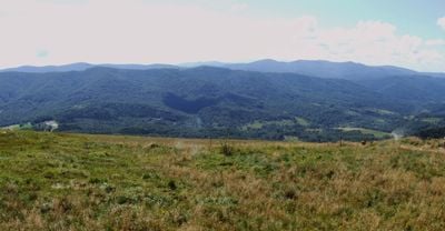
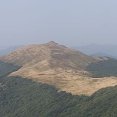
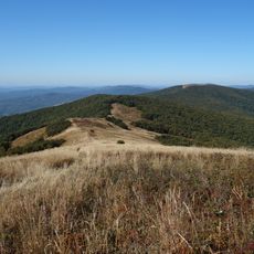
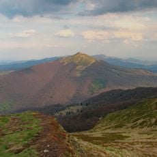
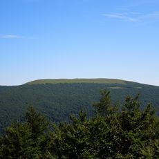
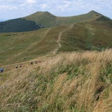
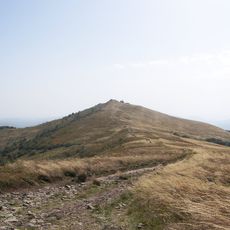
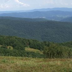
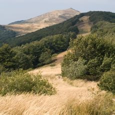
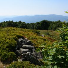
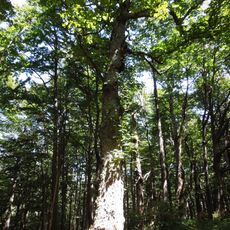
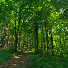
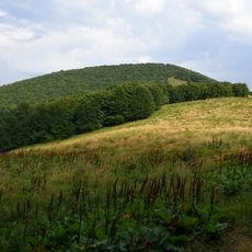
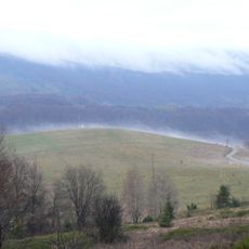
Dział is a mountain range located in the Subcarpathian region that stretches across varying elevations, with its highest points reaching about 595 meters. The terrain is covered in forest and shows a varied topography with several distinct ridge lines that guide hikers through the landscape.
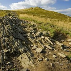
The range took shape during geological processes in the Tertiary Period, developing into its present form over millions of years. This mountain-building activity established its place as part of the larger Carpathian mountain system.
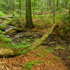
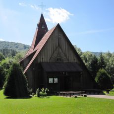
The range has long served as a recreation area for locals and visitors seeking connection with the mountain landscape. Today you can observe how the slopes remain intertwined with rural land use and forest management practices that shape the daily rhythm of the surrounding region.
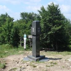
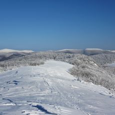
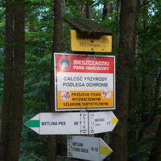
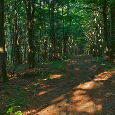
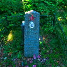
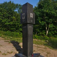
The range is crossed by marked hiking trails with maps and signage available at the main trailheads for navigation. Visitors should come prepared for changing weather conditions, especially at higher elevations where conditions can shift quickly.
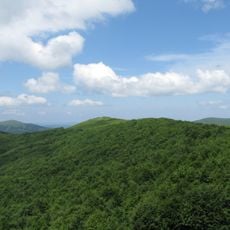
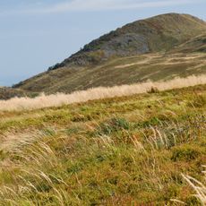
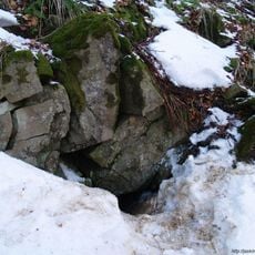
The slopes support distinct plant communities shaped by different microclimates created across the various elevations and exposures. Walking through the range, hikers pass through noticeably different vegetation zones in relatively short distances.
The community of curious travelers
AroundUs brings together thousands of curated places, local tips, and hidden gems, enriched daily by 60,000 contributors worldwide.