Sabor river, Protected river region in Bragança District, Portugal and Zamora Province, Spain.
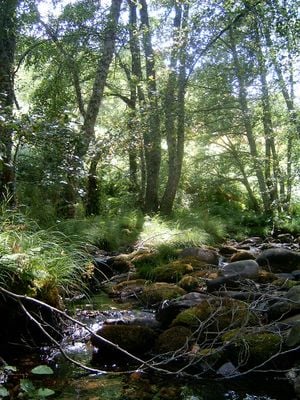
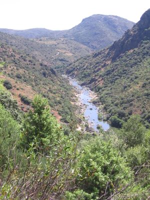
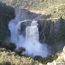
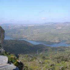
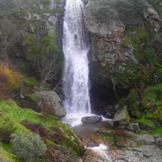
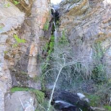
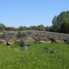
The Sabor is a river flowing through northeastern Portugal and Spain, winding through deep valleys and gorges. It forms a natural boundary between both countries and eventually joins the Douro River downstream from Torre de Moncorvo.
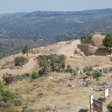
The river has been an essential water source for the region since ancient times, enabling agriculture and supporting early settlements. The construction of the Pocinho Dam in the 20th century fundamentally changed how the river was used and managed.
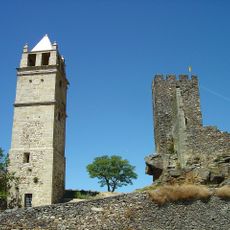
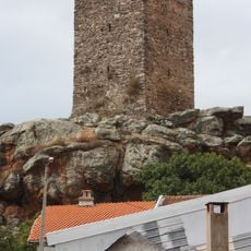
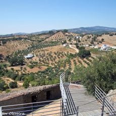
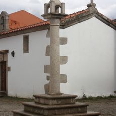
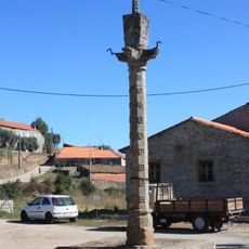
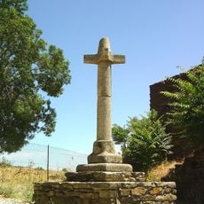
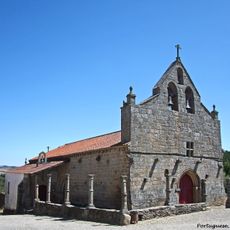
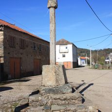
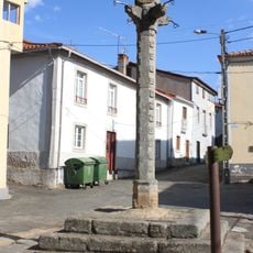
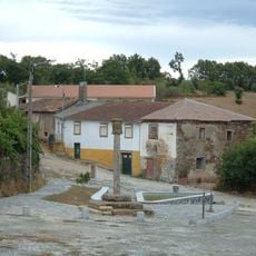
Small villages along the Sabor depend on fishing and farming in the surrounding valleys, maintaining long-standing connections to the river that shape local life. These communities continue practices passed down through generations, though modern changes have altered how people interact with the water.
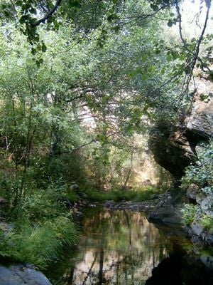
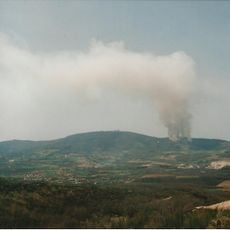
The terrain is remote and can be difficult to access in many areas, so local knowledge or a guide is helpful for exploration. Spring and autumn offer the most comfortable conditions for visiting, when water levels are moderate and weather is mild.
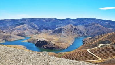
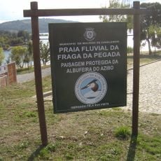
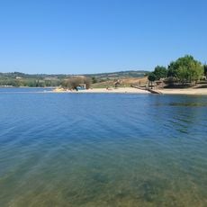
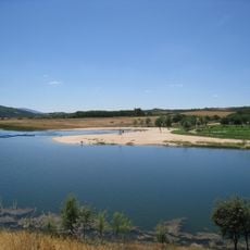
The Baixo Sabor Dam, completed in 2016, created large lakes that significantly transformed the wild character of the river. These reservoirs now form new habitats and dramatically alter the landscape where the water once ran free.
The community of curious travelers
AroundUs brings together thousands of curated places, local tips, and hidden gems, enriched daily by 60,000 contributors worldwide.