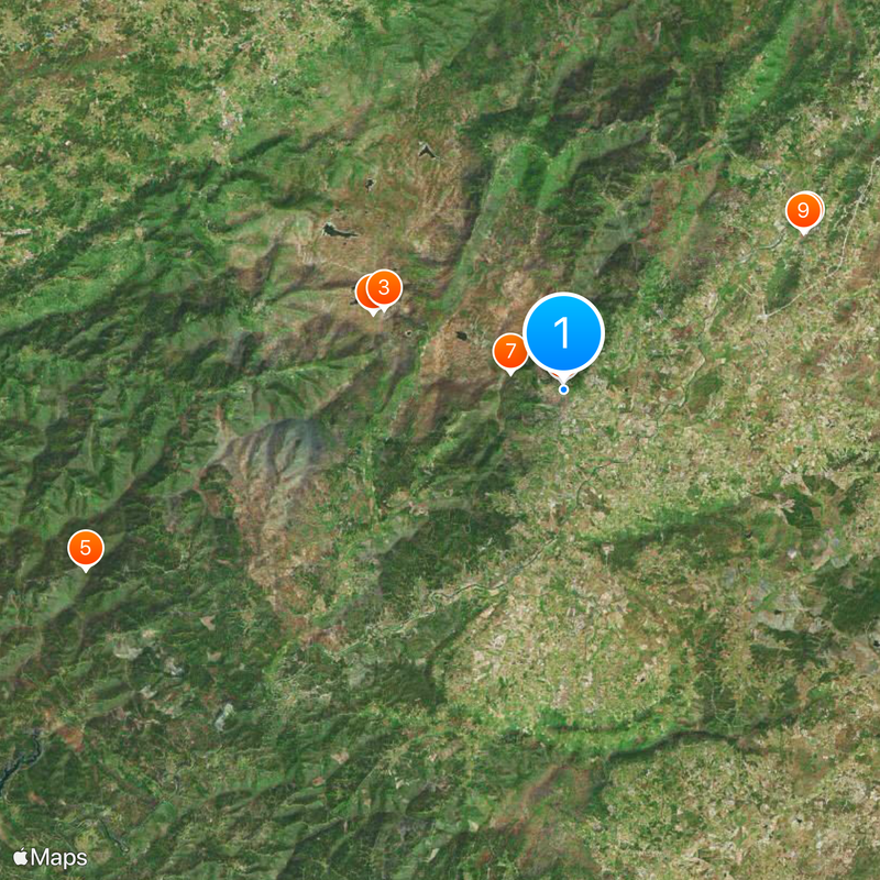
Covilhã, Municipality and city in Serra da Estrela, Portugal
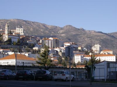
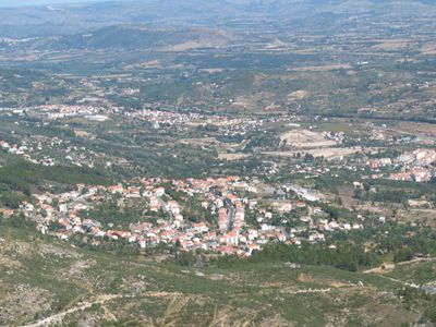
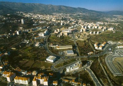
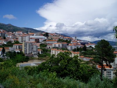
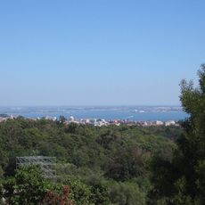
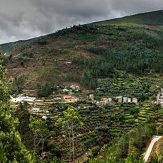
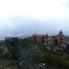
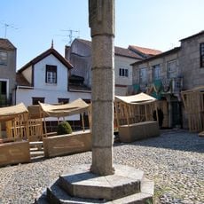
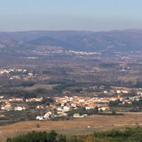
Covilhã is a city located in the mountainous Serra da Estrela region in central Portugal and spreads across hilly terrain with several neighborhoods. The urban area is divided into different quarters distributed across slopes and connected by roads and staircases throughout.
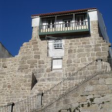
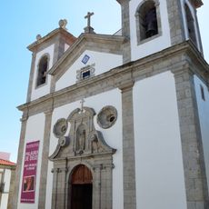
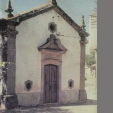
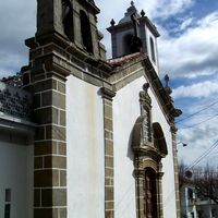
The city received its royal charter from King Sancho I in 1186, establishing it as a strategic center in the region. Built with fortified walls, it served an important role in defending the area during medieval times.
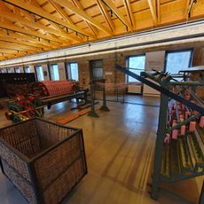
The city preserves its connection to textile craftsmanship through working workshops and museums where traditional weaving techniques remain visible to visitors today. You can see how these practices shape daily life and local identity in the community.
The city sits on hilly terrain, so visitors should wear comfortable shoes and expect to climb stairs and navigate steep paths throughout their visit. There are resting spots positioned along pathways where you can take breaks and enjoy views of the surrounding mountains.
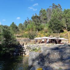
The Carpinteira pedestrian bridge spans across the river valley and connects different neighborhoods with an unusual design that blends into the landscape. Though less well-known than other city landmarks, locals appreciate it as a quick route between quarters while offering views down the valley.
Location: Castelo Branco
Location: Beiras e Serra da Estrela
Inception: 1186
Shares border with: Fundão, Belmonte, Guarda, Manteigas, Seia, Arganil, Pampilhosa da Serra
Address: 6200 Covilhã, Portugal
Website: https://cm-covilha.pt
GPS coordinates: 40.28333,-7.50000
Latest update: January 20, 2026 14:55
Serra da Estrela
11 km
Estrela
10.5 km
Conceição
408 m
Serra do Açor
27.2 km
Castle of Belmonte
15.4 km
Sanatório dos Ferroviários
3 km
Conceição
408 m
Museu Judaico de Belmonte
15.2 km
Ponte da Ribeira da Carpinteira
552 m
Praia fluvial da Lapa dos Dinheiros
20.2 km
Muralhas da Cidade da Covilhã
718 m
Convento de Nossa Senhora da Boa Esperança
14.8 km
Capela do Senhor dos Aflitos
26.4 km
Igreja de São Gião, paroquial de São Gião, incluindo todo o seu património integrado
26.1 kmPonte do Paul
14.8 kmPillory of Covilhã
528 m
Pelourinho do Fundão
16.2 kmKloster Estrela
5 km
Igreja da Misericórdia do Fundão
16.3 km
Pelourinho de Belmonte
15.3 km
Capela de Nossa Senhora da Criação
26.2 km
Universidade da Beira Interior
991 m
Capela de São Sebastião
14.2 km
Cruzeiro do Calvário
26.6 km
Praia Fluvial de São Gião
27 km
Praia Fluvial do Ourondo
21.5 km
Cine-Teatro Gardunha
16.1 km
Poço do Lagar
17.8 kmVisited this place? Tap the stars to rate it and share your experience / photos with the community! Try now! You can cancel it anytime.
Orjais
Erada
Boidobra
Ferro
Dominguizo
Verdelhos
Peraboa
Sobral de São Miguel
Aldeia de São Francisco de Assis
Unhais da Serra
São Jorge da Beira
Cortes do Meio
Tortosendo
Barco e Coutada
Cantar-Galo e Vila do Carvalho
Casegas e Ourondo
Covilhã e Canhoso
Peso e Vales do Rio
Teixoso e Sarzedo
Vale Formoso e Aldeia do Souto
Paul
Discover hidden gems everywhere you go!
From secret cafés to breathtaking viewpoints, skip the crowded tourist spots and find places that match your style. Our app makes it easy with voice search, smart filtering, route optimization, and insider tips from travelers worldwide. Download now for the complete mobile experience.
A unique approach to discovering new places❞
— Le Figaro
All the places worth exploring❞
— France Info
A tailor-made excursion in just a few clicks❞
— 20 Minutes