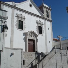
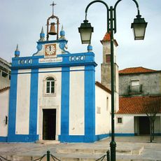
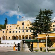
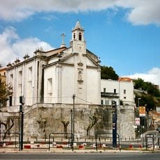
Loures, Municipality and residential center in Lisbon Metropolitan Area, Portugal.
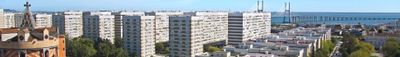
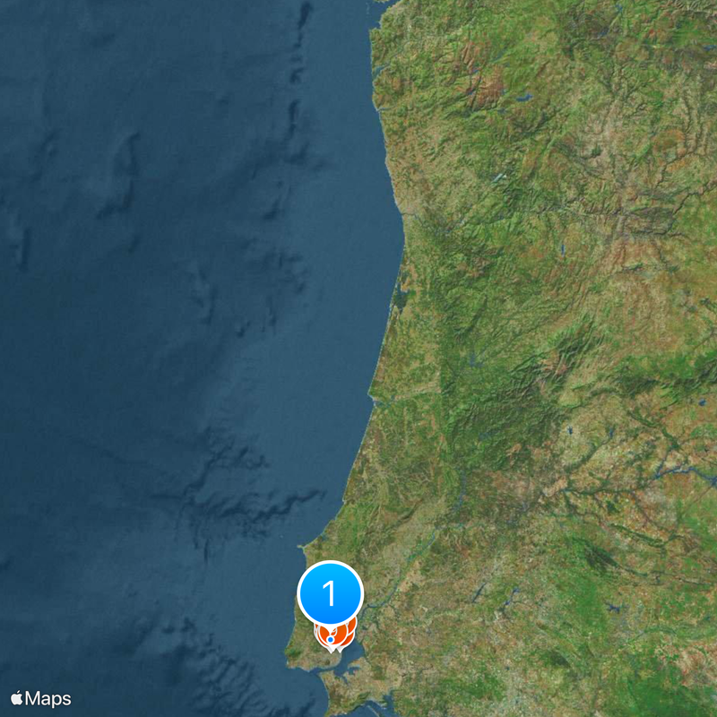
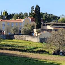
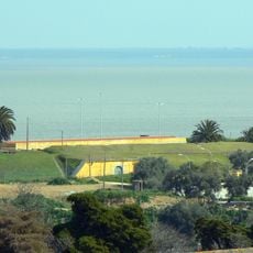
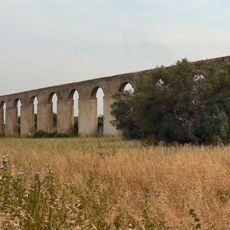
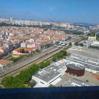
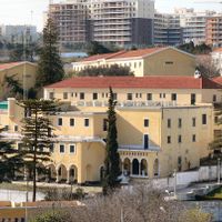
Loures is a municipality covering around 167 square kilometers, with residential neighborhoods concentrated in the south and agricultural zones in the north. The area mixes urban and rural character across its territory.
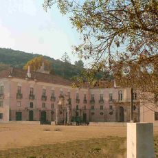
The municipality was established in 1886 from territories previously administered by Lisbon. This separation created a new administrative entity that has developed independently since then.
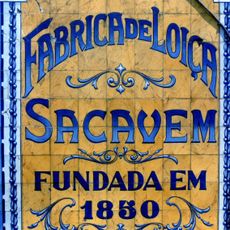
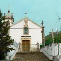
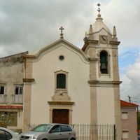
The Saloio Snail Festival draws residents and visitors to celebrate local food traditions and community bonds. These gatherings keep regional customs alive in the daily life of the municipality.
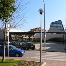
The area connects easily to central Lisbon through multiple transportation routes and bus lines. These connections make it convenient for people who work or study in the capital.
The municipality declared the Portuguese Republic a day before the rest of the nation, on October 4, 1910. This early proclamation gives it a special place in Portugal's republican history.
Location: Lisbon
Location: Lisbon metropolitan area
Inception: January 1, 1886
Shares border with: Lisbon, Odivelas, Sintra, Mafra, Arruda dos Vinhos, Vila Franca de Xira
Email: geral@cm-loures.pt
Website: https://cm-loures.pt
GPS coordinates: 38.83333,-9.16667
Latest update: December 17, 2025 11:13
Monastery of São Dinis de Odivelas
4.9 km
Fábrica de Loiça de Sacavém
7.1 km
Palácio do Correio-Mor
1.7 km
Lisbon Portugal Temple
8.2 km
Castelo de Pirescoxe
6.5 km
National Museum of Costume
6.5 km
Palácio dos Arcebispos
3 kmForte da Ameixoeira
5.4 kmCave of Pego do Diabo
5.7 kmQuinta de Valflores
7.3 kmCave of Salemas
5.7 km
Igreja de Cristo-Rei da Portela
7.5 km
Church of Nossa Senhora dos Navegantes
8.1 km
Conventinho Farm
1.6 km
Campos e Vila Meã
351.9 km
Igreja matriz de Loures
1.1 km
Casa da Quinta de São José
6.5 km
Igreja do Santíssimo Nome de Jesus, Matriz de Odivelas
4.8 km
Igreja de Nossa Senhora da Saúde e Santo André
6.8 km
Anta das Pedras Grandes
5.4 km
Fort of Sacavém
7 km
Anta da Toupeira
5.5 km
Parque Botânico do Monteiro-Mor
6.5 km
Antiga Barragem Romana de Belas
8.1 km
Puente de Sacavém
6.7 km
Antigo Convento de Nossa Senhora dos Mártires e da Conceição
6.7 km
Aqueduto dos Arcos
3.5 km
Church of Nossa Senhora da Purificação
6.7 kmVisited this place? Tap the stars to rate it and share your experience / photos with the community! Try now! You can cancel it anytime.
Discover hidden gems everywhere you go!
From secret cafés to breathtaking viewpoints, skip the crowded tourist spots and find places that match your style. Our app makes it easy with voice search, smart filtering, route optimization, and insider tips from travelers worldwide. Download now for the complete mobile experience.
A unique approach to discovering new places❞
— Le Figaro
All the places worth exploring❞
— France Info
A tailor-made excursion in just a few clicks❞
— 20 Minutes