Enable Location

We need your location to show you interesting places around you

Discover nearby places

Find interesting locations and hidden gems around you

Precise directions

Get accurate directions and distances to places

Your location is never shared with other users. It's only used when you tap the location button.

Reguengos de Monsaraz

Log in to your account

Start exploring — it's free

Trusted by 62,058 travelers worldwide

Continue with Google
Continue with Apple
or

We will send you a code to connect

By continuing, you accept our Terms and Conditions and our Privacy Policy

Check your inbox

We've sent a pincode in your inbox. Please enter the code below.

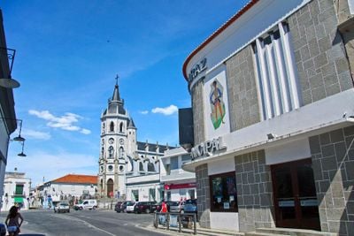
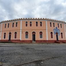
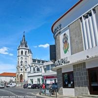
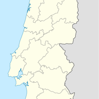
Reguengos de Monsaraz, municipality in Portugal

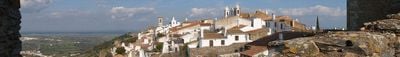
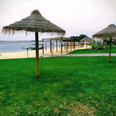
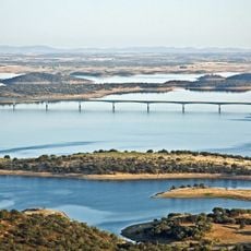
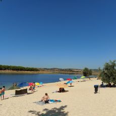
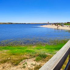
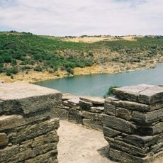
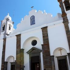
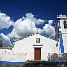
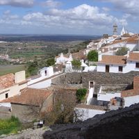
Reguengos de Monsaraz is a municipality in Alentejo set on a wide plain covered with olive groves and vineyards. The nearby village of Monsaraz rises on a hillside with whitewashed houses and medieval stone walls, while the Alqueva Lake, Europe's largest artificial lake, borders the region.

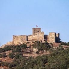
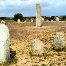
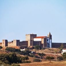
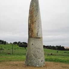
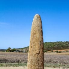
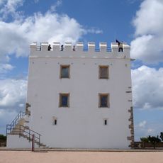
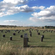
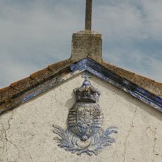
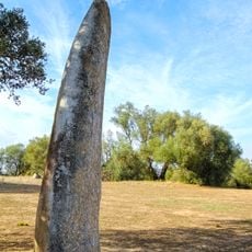
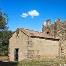
The region was an important location for early human settlements, as shown by prehistoric megaliths and the Orada Cromlech with about 50 stones. The medieval castle of Monsaraz was built in the 13th century and marks a period of defensive importance along the Portugal-Spain border.

The town is known for making wool blankets called Mantas, a craft tradition that has been part of the region for generations. Visitors can see old looms and watch artisans blend traditional techniques with new designs.

Spring and autumn are the best times to visit, when the weather is pleasant and the sun is not too intense. The area works well for walking, cycling, and lake boat trips, with flat terrain and accessible paths throughout.

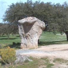
According to local tradition, girls visit a rock called Couples Rock on Easter Monday to perform a small ritual believed to reveal whether they will marry that year. This deep connection to the land and old customs shows how the community keeps its past alive in everyday actions.

The community of curious travelers

AroundUs brings together thousands of curated places, local tips, and hidden gems, enriched daily by 60,000 contributors worldwide.

Start exploring
Location
Location
Inception
January 1, 1838
Capital city
Reguengos de Monsaraz
Shares border with
Mourão, Moura, Portel, Évora, Redondo, Alandroal
GPS coordinates
38.41667,-7.53333
Latest update
January 20, 2026 15:19
Alentejo: historical sites, fortified villages and natural landscapes of Portugal

Alentejo extends south of Lisbon over a wide land of golden plains, hills covered with olive trees and cork oaks. This region shows signs of many civilizations: Roman ruins in Evora, medieval castles over the valleys, and white villages clinging to rocky tops like Monsaraz or Marvão. Towns keep...

« Reguengos de Monsaraz - municipality in Portugal » is provided by Around Us (aroundus.com). Images and texts are derived from Wikimedia project under a Creative Commons license. You are allowed to copy, distribute, and modify copies of this page, under the conditions set by the license, as long as this note is clearly visible.

Discover hidden gems everywhere you go!

From secret cafés to breathtaking viewpoints, skip the crowded tourist spots and find places that match your style. Our app makes it easy with voice search, smart filtering, route optimization, and insider tips from travelers worldwide. Download now for the complete mobile experience.

Around Us App Screenshot

A unique approach to discovering new places

Le Figaro

All the places worth exploring

France Info

A tailor-made excursion in just a few clicks

20 Minutes

Around Us
Travel Guide & Maps
Download

Send to your phone

QR Code
1

Open the camera app on your mobile.

2

Point at the QR code with your camera. A notification will appear.

3

Tap the notification to open the link.