Enable Location

We need your location to show you interesting places around you

Discover nearby places

Find interesting locations and hidden gems around you

Precise directions

Get accurate directions and distances to places

Your location is never shared with other users. It's only used when you tap the location button.

Log in to your account

Start exploring — it's free

Trusted by 62,528 travelers worldwide

Continue with Google
Continue with Apple
or

We will send you a code to connect

By continuing, you accept our Terms and Conditions and our Privacy Policy

Check your inbox

We've sent a pincode in your inbox. Please enter the code below.

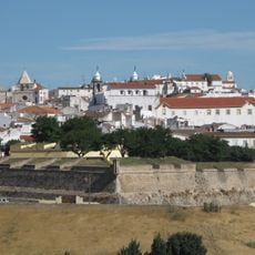
Évora, Administrative district in Alentejo, Portugal.

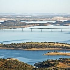
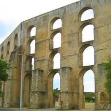
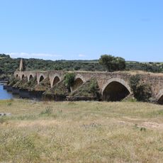
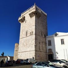
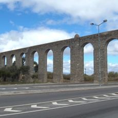
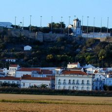
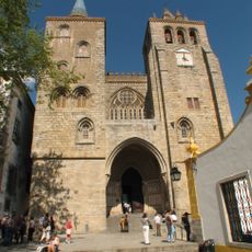
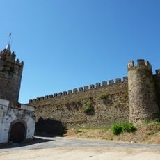
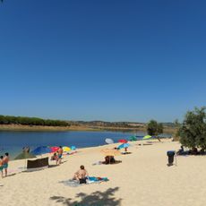
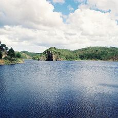
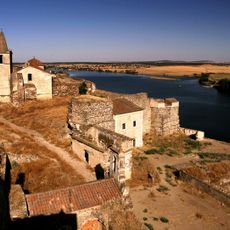
Évora is an administrative district in southern Alentejo containing 14 municipalities spread across gently rolling terrain with agricultural land and rural villages. The territory combines a notable historic city with smaller settlements, archaeological remains, and open countryside.

The district was established in 1835 as an administrative unit within the broader Alentejo region. Its location near the Spanish border and along historical trade routes shaped its development and role as a central hub.

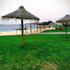
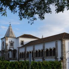
The region maintains strong traditions in pottery and textile craftsmanship that visitors can find in local workshops and markets. White-walled houses with blue or yellow accents on doors and window frames define the visual character of settlements throughout the territory.

The best time to visit is spring and early fall when temperatures are moderate and comfortable for exploring. A car is essential for navigating between the smaller towns and villages, as public transportation between rural settlements is limited.

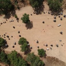
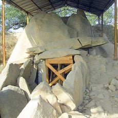
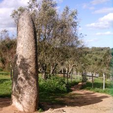
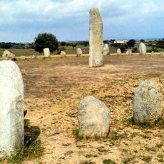
The territory contains megalithic monuments and stone circles older than Egyptian pyramids scattered across the landscape. These prehistoric sites are often quiet and easily overlooked by visitors, offering a rare window into ancient European history.

The community of curious travelers

AroundUs brings together thousands of curated places, local tips, and hidden gems, enriched daily by 60,000 contributors worldwide.

Start exploring
Location
Inception
January 1, 1835
Capital city
Évora
Part of
Alentejo region
Shares border with
Santarém, Portalegre, Setúbal, Beja, Province of Badajoz
GPS coordinates
38.56972,-7.90972
Latest update
December 22, 2025 13:16
Administrative divisions
« Évora - Administrative district in Alentejo, Portugal » is provided by Around Us (aroundus.com). Images and texts are derived from Wikimedia project under a Creative Commons license. You are allowed to copy, distribute, and modify copies of this page, under the conditions set by the license, as long as this note is clearly visible.

Discover hidden gems everywhere you go!

From secret cafés to breathtaking viewpoints, skip the crowded tourist spots and find places that match your style. Our app makes it easy with voice search, smart filtering, route optimization, and insider tips from travelers worldwide. Download now for the complete mobile experience.

Around Us App Screenshot

A unique approach to discovering new places

Le Figaro

All the places worth exploring

France Info

A tailor-made excursion in just a few clicks

20 Minutes

Around Us
Travel Guide & Maps
Download

Send to your phone

QR Code
1

Open the camera app on your mobile.

2

Point at the QR code with your camera. A notification will appear.

3

Tap the notification to open the link.