
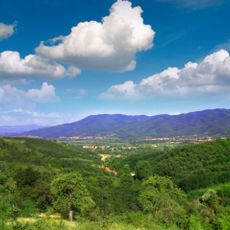
Ravnjak, Berggipfel in Serbien
Location: Serbia
Elevation above the sea: 1,207 m
GPS coordinates: 42.63028,21.91806
Latest update: May 8, 2025 06:49
Kukavica
9.8 km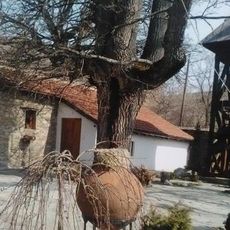
Monastery of Saint Panteleimon in Lepčince
24.5 km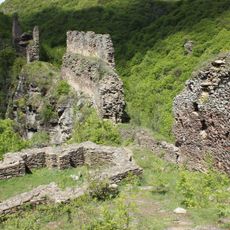
Markovo Kale
5.9 km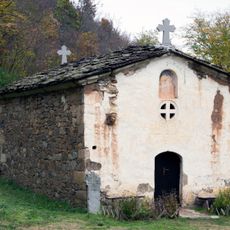
Monastère de Kacapun
8.1 km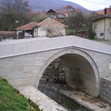
White Bridge
7.8 km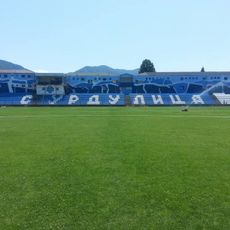
Surdulica City Stadium
21.2 km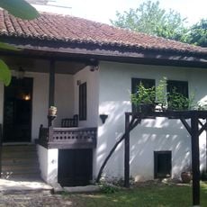
Kuća Bore Stankovića
9.1 km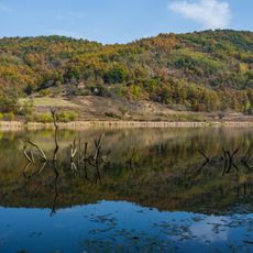
Jovac Lake
7.4 km
St. Nicholas church, Vranje
7.7 km
Gornje Žapsko monastery
20.8 km
Church of John the Baptist in Vučje
25.1 km
Holy Trinity Church, Vranje
8.9 km
Aleksandrovačko Jezero
15.8 km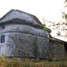
Église de la Dormition-de-la-Mère-de-Dieu de Mrtvica
21.4 km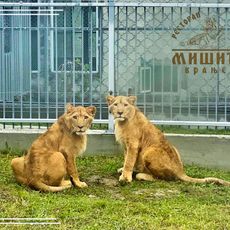
Зоо врт "Мишић"
12.1 km
Oblik
1.5 km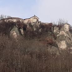
Église de la Transfiguration de Stubal
10 km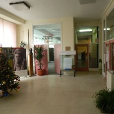
Public library „Bora Stanković“ Vranje
8.7 km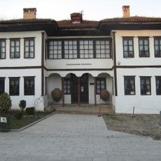
National Museum of Vranje
8.6 km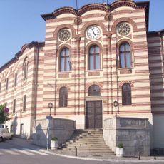
Bâtiment de l'Administration du district à Vranje
8.9 km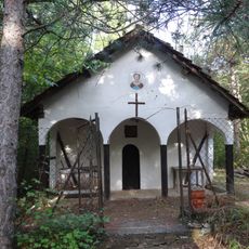
Капела Светог Пантелејмона у Горини
24 km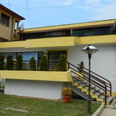
Library „Radoje Domanović“ Surdulica
22 km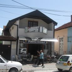
Кућа народног хероја Симе Погачаревића
9 km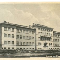
Зграда Гимназије у Врању
8.7 km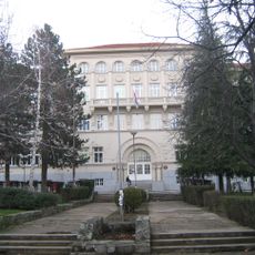
Bâtiment du lycée de Vranje
8.8 km
Crni Kamen
11 km
Ðeren (tumoy sa bukid)
16.4 km
Lesička Čuka
16.1 kmReviews
Visited this place? Tap the stars to rate it and share your experience / photos with the community! Try now! You can cancel it anytime.
Discover hidden gems everywhere you go!
From secret cafés to breathtaking viewpoints, skip the crowded tourist spots and find places that match your style. Our app makes it easy with voice search, smart filtering, route optimization, and insider tips from travelers worldwide. Download now for the complete mobile experience.

A unique approach to discovering new places❞
— Le Figaro
All the places worth exploring❞
— France Info
A tailor-made excursion in just a few clicks❞
— 20 Minutes