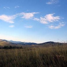
Karaula, Berggipfel in Serbien
Location: Serbia
Elevation above the sea: 1,348 m
GPS coordinates: 43.56750,19.81833
Latest update: May 8, 2025 17:15
Zlatibor
17.2 km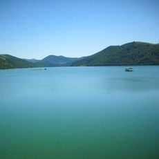
Zlatar Lake
6.8 km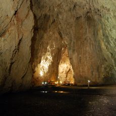
Stopića Cave
15.3 km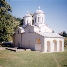
Banja Monastery
19.9 km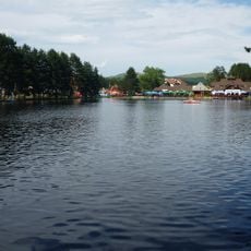
Lake Zlatibor
20 km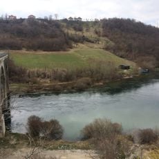
Radoinja Lake
7.6 km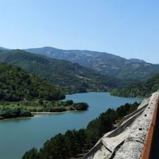
Potpeć Lake
19.2 km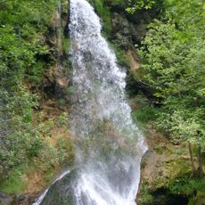
Gostilje waterfall
10 km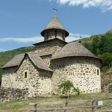
Uvac Monastery
19.2 km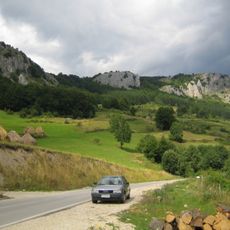
Mučanj
17.6 km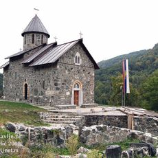
Mažići Monastery
19.6 km
Dubnica Monastery
18.1 km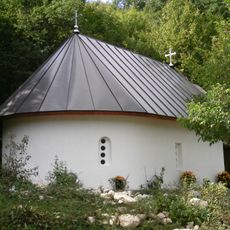
Janja Monastery
11.5 km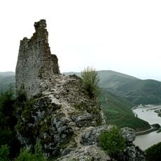
Kovin Fortress
19.8 km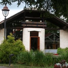
Knitting Museum
14.1 km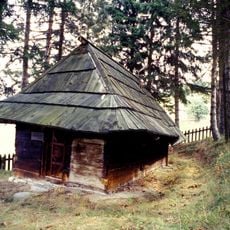
Wooden Church in Kućani village
4 km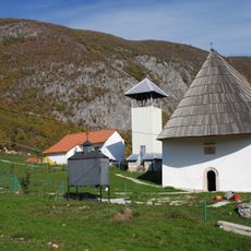
Church of the Holy Trinity in Bistrica
14.1 km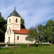
Saints Peter and Paul Orthodox church in Sirogojno
14.3 km
Wooden church in Dobroselica
10 km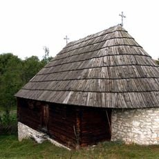
Log church in Radijevići
19.5 km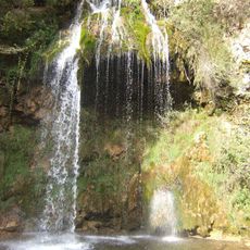
Споменик природе Бјелушка потајница
14.7 km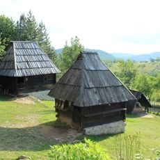
Maison natale de Savo Jovanović Sirogojno
14 km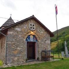
St. Nicholas Church in Brekovo
18 km
Maison de Tomislav Bošković à Radoinja
8.2 km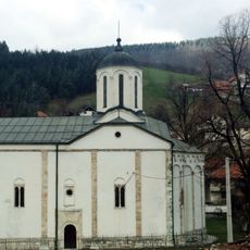
Église de la Sainte-Trinité de Nova Varoš
12.1 km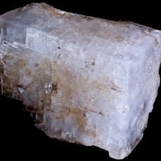
Magnesites of Zlatibor
16.8 km
Presedo
16.6 km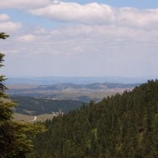
Tornik (peak)
17.3 kmReviews
Visited this place? Tap the stars to rate it and share your experience / photos with the community! Try now! You can cancel it anytime.
Discover hidden gems everywhere you go!
From secret cafés to breathtaking viewpoints, skip the crowded tourist spots and find places that match your style. Our app makes it easy with voice search, smart filtering, route optimization, and insider tips from travelers worldwide. Download now for the complete mobile experience.

A unique approach to discovering new places❞
— Le Figaro
All the places worth exploring❞
— France Info
A tailor-made excursion in just a few clicks❞
— 20 Minutes