Enable Location

We need your location to show you interesting places around you

Discover nearby places

Find interesting locations and hidden gems around you

Precise directions

Get accurate directions and distances to places

Your location is never shared with other users. It's only used when you tap the location button.

Kursk Oblast

Log in to your account

Start exploring — it's free

Trusted by 62,175 travelers worldwide

Continue with Google
Continue with Apple
or

We will send you a code to connect

By continuing, you accept our Terms and Conditions and our Privacy Policy

Check your inbox

We've sent a pincode in your inbox. Please enter the code below.

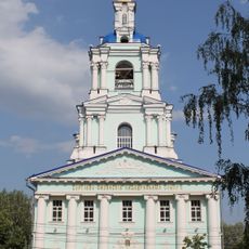
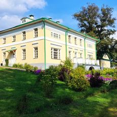
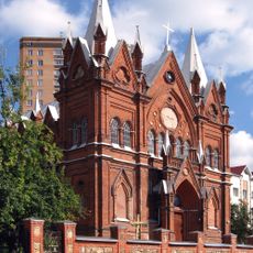
Kursk Oblast, Administrative region in Central Russia

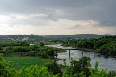
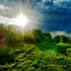
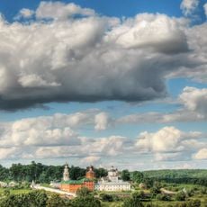
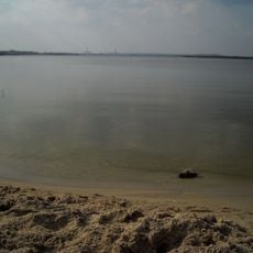
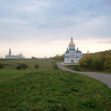
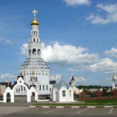
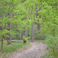
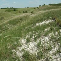
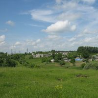
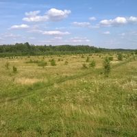
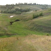
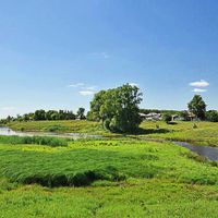
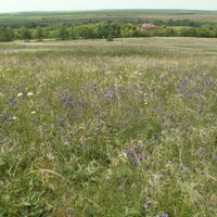
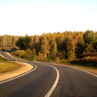
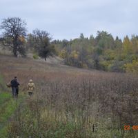
Kursk Oblast is an administrative region in central Russia that stretches across gentle hills and wide agricultural plains, encompassing several major towns. The territory is crossed by numerous rivers flowing through open fields and forested areas, creating a varied rural landscape.

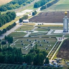
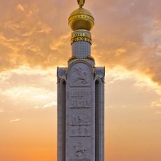
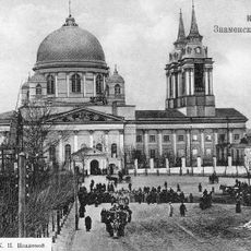
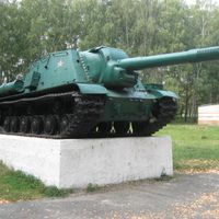
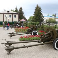
The region gained its current administrative status in 1934 as a distinct territory within the Russian Federation. During World War II, it became the site of one of the largest tank battles in 1943, which decisively influenced the course of the war.

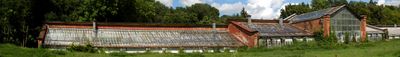
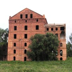
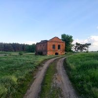
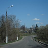
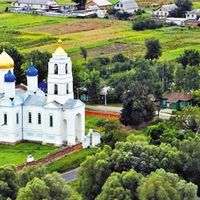
The region preserves its rural communities through traditional settlement patterns, with farmsteads and small villages covering the flat plains. Local residents maintain agricultural customs that have been passed down through generations to younger families.

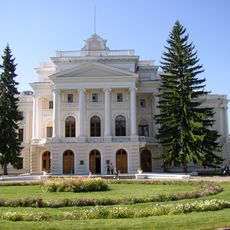
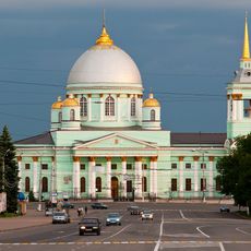
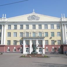
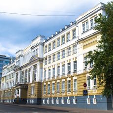
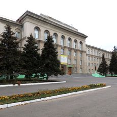
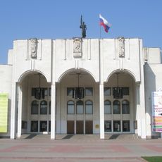
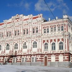
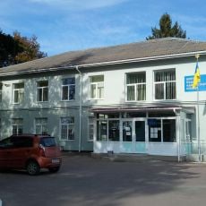
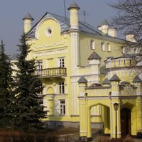
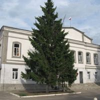
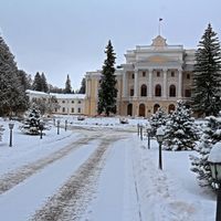
The region is accessible via major transport routes between Moscow and the southern border, with the city of Kursk serving as the central hub. Visitors will find several smaller towns scattered across the territory offering local services and accommodations.

Beneath the surface lie some of the richest iron ore deposits on Earth, known as a magnetic anomaly that affects compasses nearby. This geological formation draws miners and researchers who study the unusual magnetic properties of the rock.

The community of curious travelers

AroundUs brings together thousands of curated places, local tips, and hidden gems, enriched daily by 60,000 contributors worldwide.

Start exploring
Location
Inception
June 13, 1934
Capital city
Kursk
Reference
RU-KRS
Part of
Central Federal District
Shares border with
Bryansk Oblast, Oryol Oblast, Lipetsk Oblast, Voronezh Oblast, Belgorod Oblast, Sumy Oblast
GPS coordinates
51.75000,36.01667
Latest update
December 14, 2025 22:26
Around this place
Korennaja pustyn'
Russian Federation

Korennaja pustyn'

32.1 km
Prokhorovka field
Russian Federation

Prokhorovka field

93.3 km
Maryino Estate
Russian Federation

Maryino Estate

76.4 km
Cathedral of Our Lady of "The Omen"
Russian Federation

Cathedral of Our Lady of "The Omen"

12.4 km
Zvonnitsa in Prokhorovka Battlefield
Russian Federation

Zvonnitsa in Prokhorovka Battlefield

93.4 km
Central Black Earth Nature Reserve
Russian Federation

Central Black Earth Nature Reserve

87.6 km
Kursk State Medical University
Russian Federation

Kursk State Medical University

12.3 km
Kursk State University
Russian Federation

Kursk State University

12.1 km
Yuvileiny Stadium
Ukraine

Yuvileiny Stadium

126.8 km
Cathedral of the Theotokos of Kazan and Saint Sergius of Radonezh
Russian Federation

Cathedral of the Theotokos of Kazan and Saint Sergius of Radonezh

12.5 km
Afanasy Fet Estate
Russian Federation

Afanasy Fet Estate

41.4 km
Russian Federation

Kursk Kremlin

12.4 km
Zamok Borki
Russian Federation

Zamok Borki

149.2 km
Курська дуга (меморіальний комплекс)
Russian Federation

Курська дуга (меморіальний комплекс)

11.4 km
Trudovye Rezervy Stadium
Russian Federation

Trudovye Rezervy Stadium

12.1 km
Sumy summerhouse
Ukraine

Sumy summerhouse

126.4 km
Ufimtsev Wind Turbine
Russian Federation

Ufimtsev Wind Turbine

11.8 km
St. Nicholas Monastery in Rylsk
Russian Federation

St. Nicholas Monastery in Rylsk

93.2 km
Church of Our Lady of the Assumption, Kursk
Russian Federation

Church of Our Lady of the Assumption, Kursk

12 km
Kurskoye Vodokhranilishche
Russian Federation

Kurskoye Vodokhranilishche

25.1 km
Sofroniev monastery
Ukraine

Sofroniev monastery

136.6 km
Monastery of the Theotokos of the Sign
Russian Federation

Monastery of the Theotokos of the Sign

12.4 km
Kursk State Agricultural Academy named after Professor II Ivanova
Russian Federation

Kursk State Agricultural Academy named after Professor II Ivanova

11.6 km
Pushkin State Drama Theatre Kursk
Russian Federation

Pushkin State Drama Theatre Kursk

12.1 km
Adamov's mill
Russian Federation

Adamov's mill

133.2 km
Building of the Noble Assembly
Russian Federation

Building of the Noble Assembly

12.4 km
Saints Peter and Paul Church
Russian Federation

Saints Peter and Paul Church

93.8 km
Stepanivka
Ukraine

Stepanivka

131.2 km
Show the full map
« Kursk Oblast - Administrative region in Central Russia » is provided by Around Us (aroundus.com). Images and texts are derived from Wikimedia project under a Creative Commons license. You are allowed to copy, distribute, and modify copies of this page, under the conditions set by the license, as long as this note is clearly visible.

Discover hidden gems everywhere you go!

From secret cafés to breathtaking viewpoints, skip the crowded tourist spots and find places that match your style. Our app makes it easy with voice search, smart filtering, route optimization, and insider tips from travelers worldwide. Download now for the complete mobile experience.

Around Us App Screenshot

A unique approach to discovering new places

Le Figaro

All the places worth exploring

France Info

A tailor-made excursion in just a few clicks

20 Minutes

Around Us
Travel Guide & Maps
Download

Send to your phone

QR Code
1

Open the camera app on your mobile.

2

Point at the QR code with your camera. A notification will appear.

3

Tap the notification to open the link.