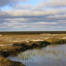
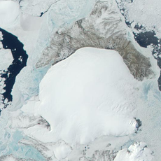
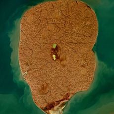
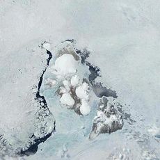
Laptev Sea, Marginal sea in Northern Siberia, Russia.
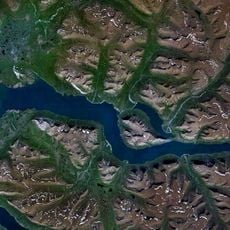
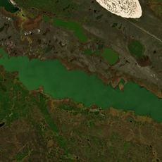
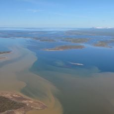
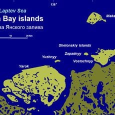
The Laptev Sea spreads across the edge of the Siberian continental shelf and is bordered by the Taimyr Peninsula to the west and the New Siberian Islands to the east. The water ranges from shallow shelf areas to depths exceeding 3000 m where the seabed drops into the Arctic Basin.
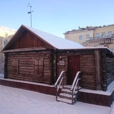
Khariton and Dmitry Laptev charted the coast during the Great Northern Expedition between 1735 and 1740, giving the sea its name. Soviet authorities later established research stations and the port of Tiksi to support exploration of the Northeast Passage.
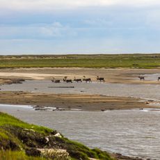
Nenet and Even communities live along the coast and use the waters as their ancestors did. Their methods for fishing and hunting marine mammals follow time-tested techniques suited to the long polar winter that dominates daily life here.
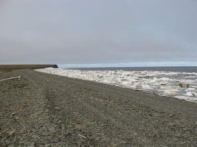
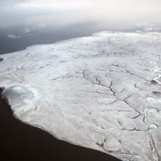
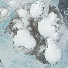
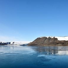
The water stays frozen for roughly nine months each year, with ice cover starting to grow in late autumn and reaching peak thickness in April. Visitors should plan stays during the brief summer season when ships call at Tiksi port and temperatures rise above freezing.
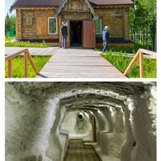
Beneath the seabed lie ancient ice packs from the last ice age that influence water salinity in different ways. As this ice within the sediments melts, it changes the chemistry of the water at depth.
The community of curious travelers
AroundUs brings together thousands of curated places, local tips, and hidden gems, enriched daily by 60,000 contributors worldwide.