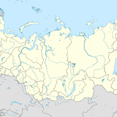
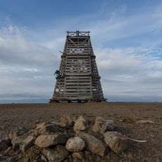
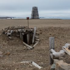
Matusevich Fjord, Arctic fjord in Severnaya Zemlya, Russia
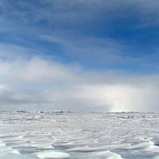
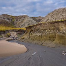
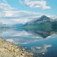
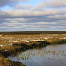
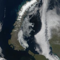
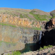
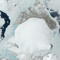
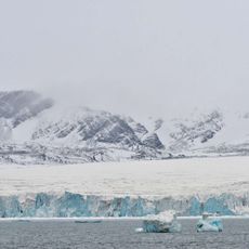
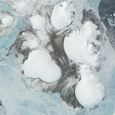
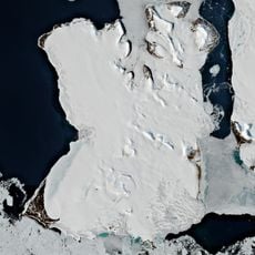
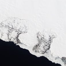
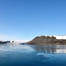
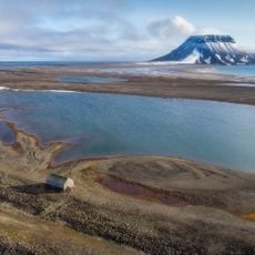
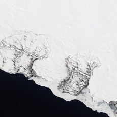
Matusevich Fjord is a roughly 60 km long inlet on the northeastern side of October Revolution Island, opening onto the Laptev Sea between Vollosovich Island to the west and Blizhny Island to the east. Its basin is bordered by steep rocky shores with cliffs up to 20 m and mountains reaching 590 m at Gora Bazarnaya. At the inner end three branches converge, fed by glaciers from the Rusanov and Karpinsky ice caps; two islets, Trudny and Pregrazhdayushchy, lie north of the glacier terminus, the latter carrying a geodetic point.
The fjord was first documented in 1931 during a Soviet expedition led by Georgy Ushakov and Nikolay Urvantsev sent to explore Severnaya Zemlya. It was later named to honor Nikolai Matusevich in recognition of his contributions to Arctic research in the region.
The fjord is named after Nikolai Matusevich, a hydrographer and geodesist who mapped the Barents and White Sea coasts and studied currents in the Gorlo Strait. He was a professor at the Naval Academy and vice-president of the All-Union Geographical Society. The name honours his Arctic research rather than any local tradition.
Access requires specialized Arctic expedition equipment and vessels because the location is extremely remote with harsh weather conditions year-round. Visitors should prepare for extended daylight in summer and prolonged darkness in winter depending on the season of travel.
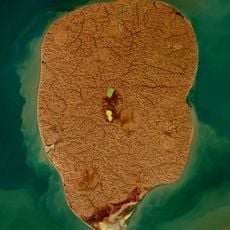
Two small islands, Trudny and Pregrazhdayushchy, sit where three branches of the fjord converge, formed at the meeting point of the Rusanov and Karpinsky glaciers. These islands represent a rare geographic formation shaped by the interaction of two separate glacier systems.
The community of curious travelers
AroundUs brings together thousands of curated places, local tips, and hidden gems, enriched daily by 93,291 contributors worldwide.