Chest opened
+${chestReward.xp} XP
Explorer
NOUVEAU ×${chestReward.collectible.quantity}
tapez pour fermer
Chest locked

Open chests in the app

Around Us is built for your phone — chests unlock when you walk, explore and capture nearby places.

Enable Location

We need your location to show you interesting places around you

Discover nearby places

Find interesting locations and hidden gems around you

Precise directions

Get accurate directions and distances to places

Your location is never shared with other users. It's only used when you tap the location button.

Akhvakhsky District

Log in to your account

Start exploring — it's free

Trusted by 72,877 travelers worldwide

Continue with Google
Continue with Apple
or

We will send you a code to connect

By continuing, you accept our Terms and Conditions and our Privacy Policy

Check your inbox

We've sent a pincode in your inbox. Please enter the code below.

Akhvakhsky District
Discussion Reviews 1 Photos
10.9k Popularity

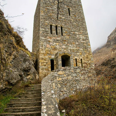
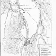
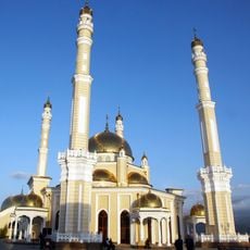
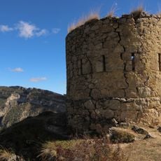
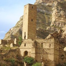
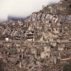
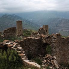
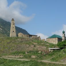
Akhvakhsky District, Municipal district in Dagestan, Russia.

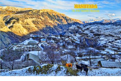
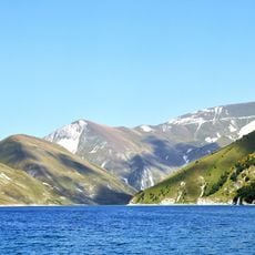
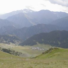
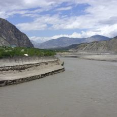
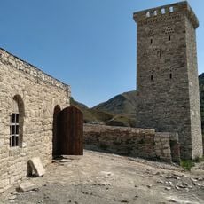
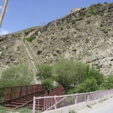
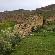
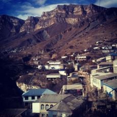
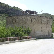
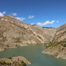
Akhvakhsky District is a municipal district in western Dagestan located in the Caucasus Mountains region. The area comprises roughly twenty-five rural settlements administered from the town of Karata.

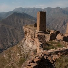
The district was established in 1933 as an administrative unit within the Dagestan ASSR and continued until the Soviet Union's dissolution in 1991. This administrative structure shaped local organization for many decades.

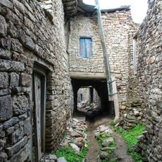
The local population speaks Karata, a language from the Avar-Andic family of the Caucasus, which shapes daily life and local traditions. This language connects the community and sets it apart from neighboring regions.

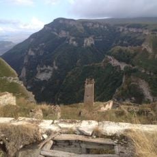
When visiting, expect the area to be mountainous with limited infrastructure in rural settlements. It is wise to prepare for local conditions and check accessibility before planning your trip.

The population of the district has roughly doubled in recent decades, showing strong growth in a remote mountain region. This demographic pattern is remarkable for such an isolated rural area.

The community of curious travelers

AroundUs brings together thousands of curated places, local tips, and hidden gems, enriched daily by 60,000 contributors worldwide.

Start exploring
Location
Inception
1933
Capital city
Karata
Elevation above the sea
1,646 m
GPS coordinates
42.58333,46.35000
Latest update
December 8, 2025 13:44
Around this place
Kezenoyam
Russian Federation

Kezenoyam

26.9 km
Gunib Fortress
Russian Federation

Gunib Fortress

54.1 km
Datuna Church
Russian Federation

Datuna Church

25.5 km
Pitkäranta District
Russian Federation

Pitkäranta District

48.3 km
Gimry tower
Russian Federation

Gimry tower

46.7 km
Irganai Reservoir
Russian Federation

Irganai Reservoir

43.3 km
Khunzakh Fortress
Russian Federation

Khunzakh Fortress

30.6 km
Хой (башня)
Russian Federation

Хой (башня)

26 km
Preobragenskaya Fortres
Russian Federation

Preobragenskaya Fortres

11 km
Didoetiya
Russian Federation

Didoetiya

54.3 km
Category:Shatoy historic & architectural complex
Russian Federation

Category:Shatoy historic & architectural complex

44.9 km
Харачойский водопад
Russian Federation

Харачойский водопад

40.6 km
Крепость Ведено
Russian Federation

Крепость Ведено

47.2 km
Харкаройская боевая башня
Russian Federation

Харкаройская боевая башня

27.9 km
Makazhoy Historical and Architectural Complex
Russian Federation

Makazhoy Historical and Architectural Complex

29.5 km
Canta-Aukh
Russian Federation

Canta-Aukh

41.6 km
Benoy Mosque
Russian Federation

Benoy Mosque

45.2 km
Крепостная стена (Гуниб)
Russian Federation

Крепостная стена (Гуниб)

54.1 km
Селение Нижний Батлух (Нижний Батлух)
Russian Federation

Селение Нижний Батлух (Нижний Батлух)

17.8 km
Башня юго-западная (Нижнее Инхело)
Russian Federation

Башня юго-западная (Нижнее Инхело)

10.9 km
Водохранилище (Гуниб)
Russian Federation

Водохранилище (Гуниб)

54.6 km
Оборонительная сторожевая башня (Гуниб)
Russian Federation

Оборонительная сторожевая башня (Гуниб)

54 km
Селение Корода (архитектурный комплекс) (Корода)
Russian Federation

Селение Корода (архитектурный комплекс) (Корода)

43.5 km
Три Гоорские башни (Гоор)
Russian Federation

Три Гоорские башни (Гоор)

24.7 km
Верхняя боевая башня (Кахиб)
Russian Federation

Верхняя боевая башня (Кахиб)

26.7 km
Селение Кахиб (старое) (Кахиб)
Russian Federation

Селение Кахиб (старое) (Кахиб)

26.8 km
Селение «Гоор» (Гоор)
Russian Federation

Селение «Гоор» (Гоор)

24.7 km
Khimoi Historical and Architectural Complex
Russian Federation

Khimoi Historical and Architectural Complex

41.6 km
Show the full map
Reviews
Share your experience

No review yet

Discussions
Start a discussion...

No discussion yet

« Akhvakhsky District - Municipal district in Dagestan, Russia » is provided by Around Us (aroundus.com). Images and texts are derived from Wikimedia project under a Creative Commons license. You are allowed to copy, distribute, and modify copies of this page, under the conditions set by the license, as long as this note is clearly visible.

Discover hidden gems everywhere you go!

From secret cafés to breathtaking viewpoints, skip the crowded tourist spots and find places that match your style. Our app makes it easy with voice search, smart filtering, route optimization, and insider tips from travelers worldwide. Download now for the complete mobile experience.

Around Us App Screenshot

A unique approach to discovering new places

Le Figaro

All the places worth exploring

France Info

A tailor-made excursion in just a few clicks

20 Minutes

Around Us
Travel Guide & Maps
Download

Send to your phone

QR Code
1

Open the camera app on your mobile.

2

Point at the QR code with your camera. A notification will appear.

3

Tap the notification to open the link.