Krasnoselkupsky District, Administrative district in Yamalo-Nenets Autonomous Okrug, Russia.
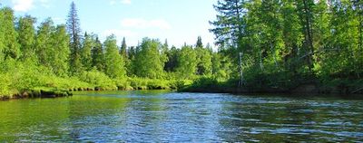
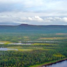
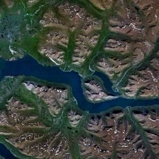
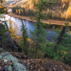
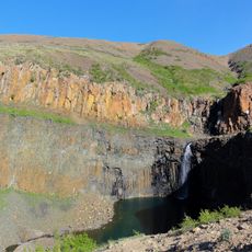
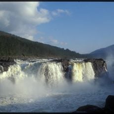
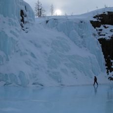
Krasnoselkupsky District is a municipal territory in southeastern Yamalo-Nenets, characterized by dense taiga forests and significant river systems including the Taz River. The landscape is shaped by thick woodlands crossed by multiple waterways that define the terrain.
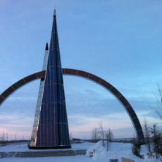
The district was established through administrative reforms in the 1930s, creating a governance framework for local communities. This reorganization integrated the territories within the Yamalo-Nenets Autonomous Okrug into a coordinated system.
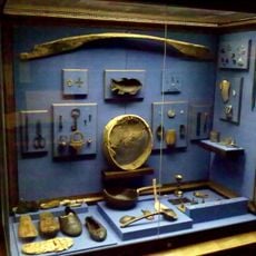
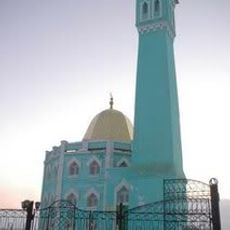
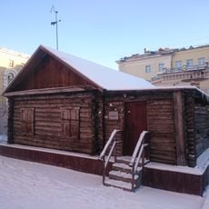
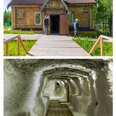
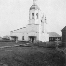
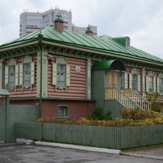
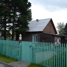
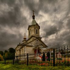
The district maintains strong ties to Selkup traditions, with indigenous peoples shaping daily life through their fishing and hunting practices. These ways of life remain visible in how communities interact with the rivers and forests around them.
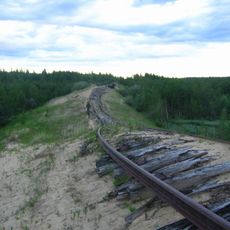
Access to the region is primarily by regional flights, with seasonal winter roads connecting Krasnoselkup to distant settlements. Visitors should expect limited infrastructure and vast distances, and plan travel flexibly.
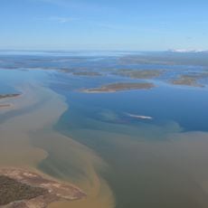
The territory contains Lake Chyortovo, an unexpected body of water within the forested landscape. The region also operates two hours ahead of Moscow time, which affects travel planning.
The community of curious travelers
AroundUs brings together thousands of curated places, local tips, and hidden gems, enriched daily by 60,000 contributors worldwide.