
Чердынь, human settlement in Preobrazhensky Selsovet (Nazarovsky District), Nazarovsky District, Krasnoyarsk Krai, Russia
Location: Preobrazhensky Selsoviet
GPS coordinates: 55.87083,90.32278
Latest update: March 24, 2025 22:35
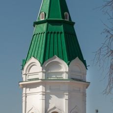
Paraskeva Pyatnitsa Chapel
159 km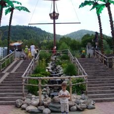
Royev Ruchey Zoo
150.6 km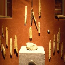
Afontova Gora
151.4 km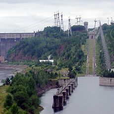
Krasnoyarsk Dam ship lift
122.8 km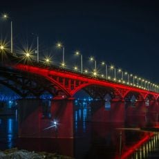
Nikolayevsky Bridge
155.6 km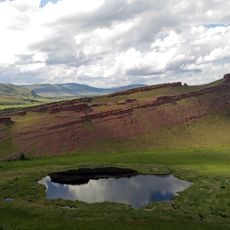
Sunduki Range
138.2 km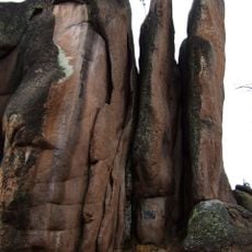
Krasnoyarsk Stolby National Park
152.6 km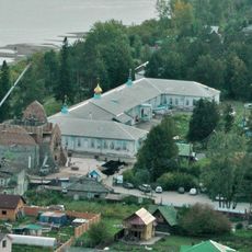
Uspensky monastery
151.2 km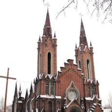
Transfiguration Church, Krasnoyarsk
158.1 km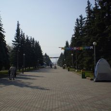
Krasnoyarsk Central Park
158.5 km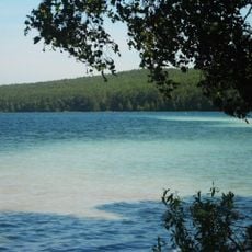
Ingol
100 km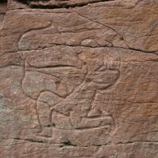
Sulek petroglyphs
110.8 km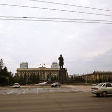
Revolution square
158.5 km
Itat Formation
72.8 km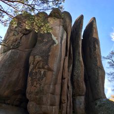
Per’ya Rock
151.3 km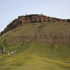
Chebaki fortress
154.1 km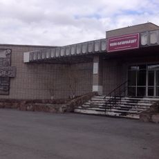
Музейно-выставочный центр города Назарово
17.2 km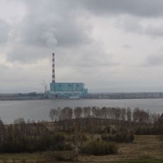
Beryozovo Reservoir
87.2 km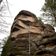
Скала Дед (Красноярские столбы)
151 km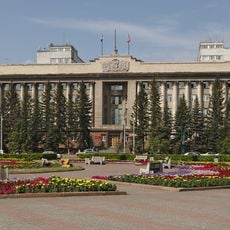
House of the Soviets, Krasnoyarsk
158.5 km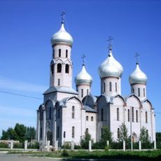
Holy Trinity Cathedral
80.5 km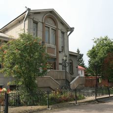
Библиотека-музей В. П. Астафьева
140.6 km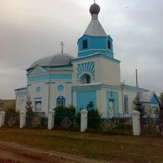
Saints Peter and Paul сhurche
68 km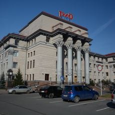
Headquarters of Krasnoyarsk Railway
158.3 km
3755 км
127.2 km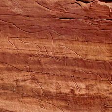
Oshkol' petroglyphs
136.9 km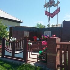
Памятник воинам-землякам, погибшим в годы Великой Отечественной войны (Соленоозёрное)
130.3 km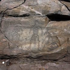
Sunduki Petroglyphs
141.7 kmReviews
Visited this place? Tap the stars to rate it and share your experience / photos with the community! Try now! You can cancel it anytime.
Discover hidden gems everywhere you go!
From secret cafés to breathtaking viewpoints, skip the crowded tourist spots and find places that match your style. Our app makes it easy with voice search, smart filtering, route optimization, and insider tips from travelers worldwide. Download now for the complete mobile experience.

A unique approach to discovering new places❞
— Le Figaro
All the places worth exploring❞
— France Info
A tailor-made excursion in just a few clicks❞
— 20 Minutes