
Лугохутор, human settlement in Anuchinsky District, Primorsky Krai, Russia
Location: Гражданское сельское поселение
GPS coordinates: 44.21160,133.21800
Latest update: March 13, 2025 16:56
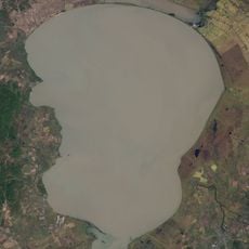
Khanka
109.8 km
Ussurisky Nature Reserve
80 km
Lazovsky Zapovednik
132.7 km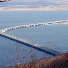
Amur Bay Bridge
147.3 km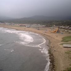
Shamora
144 km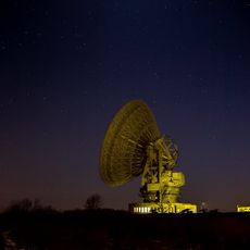
Galenki RT-70 radio telescope
118.6 km
Khanka Nature Reserve
90.3 km
Zov Tigra National Park
109.4 km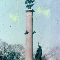
Ростральная колонна
140.1 km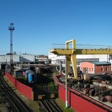
Ussuriysk Locomotive Repair Plant
108.8 km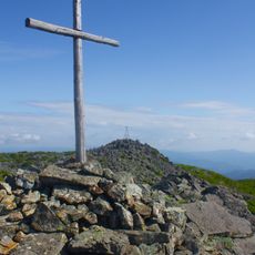
Olkhovaya
102.5 km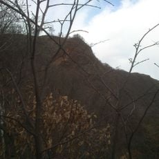
Baranovsky Volcano (Primorsky Krai)
121.3 km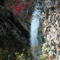
Беневские водопады
114.8 km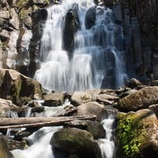
Waterfall on Left Gorbaty Spring
98.5 km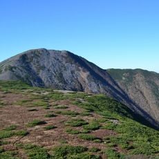
Oblachnaya
97.4 km
Botanical Garden-Institute of the Far Eastern Branch of the Russian Academy of Sciences
147.6 km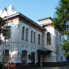
Ussuriysk drama theatre
112.1 km
Russian locomotive Ел-629
108.9 km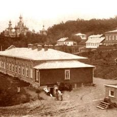
Svyato-Troitsky Nikolaevsky Monastery in Primorye
115.3 km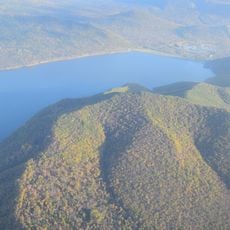
Artyomovka Reservoir
97.1 km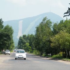
Obzornaya
17.2 km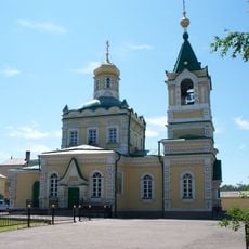
Church of the Protection of Our Lady in Ussuriysk
110.9 km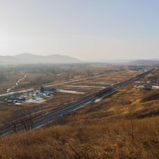
53rd km
122.5 km
V.K. Komarov Mountain-Taiga Station
103 km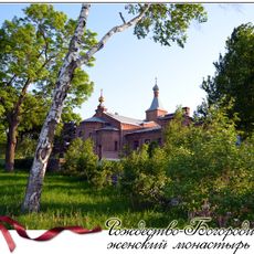
Rozhdestvensky Convent, Ussuriysk
121.3 km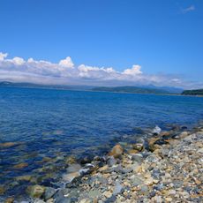
Bukhta Litovka
151.2 km
Plaine du Khanka
144.5 km
Sopka Shapka
148.3 kmReviews
Visited this place? Tap the stars to rate it and share your experience / photos with the community! Try now! You can cancel it anytime.
Discover hidden gems everywhere you go!
From secret cafés to breathtaking viewpoints, skip the crowded tourist spots and find places that match your style. Our app makes it easy with voice search, smart filtering, route optimization, and insider tips from travelers worldwide. Download now for the complete mobile experience.

A unique approach to discovering new places❞
— Le Figaro
All the places worth exploring❞
— France Info
A tailor-made excursion in just a few clicks❞
— 20 Minutes