

Zeya Dam
147.2 km
Highland of Aldan
526.9 km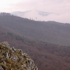
Zeya Nature Reserve
148 km
Bureya Nature Reserve
386.9 km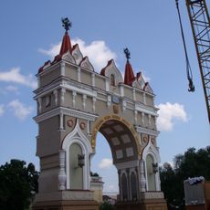
Triumphal arch in Blagoveshchensk
389.1 km
Khingan Nature Reserve
506.9 km
Bureinsky Ridge
409.2 km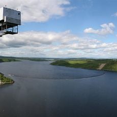
Bureya Reservoir
367.8 km
Nora Nature Reserve
126.4 km
Lake Bolshoye Toko
294.7 km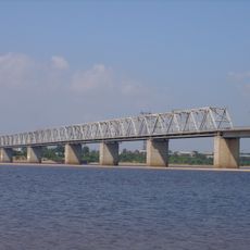
Road bridge over Zeya in Blagoveshchensk
384.3 km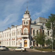
Amur Oblast Local Museum
388.8 km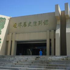
Aihui History Museum
418.9 km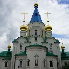
Annunciation Cathedral (Blagoveshchensk)
388.8 km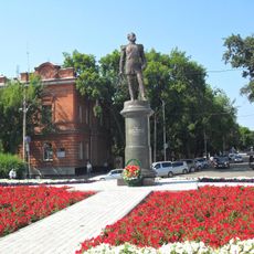
Памятник Муравьёву-Амурскому
389 km
Tokinsko-Stanovoy National Park
233.4 km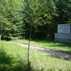
Aihui New City vestiges
419.5 km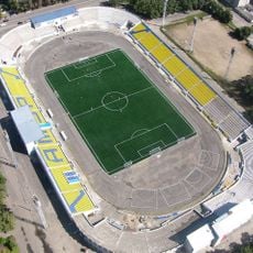
Amur Stadium
389.2 km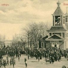
Cathedral of the Annunciation of the Blessed Virgin Mary
388.8 km
Ayachi, Amur Oblast
517.1 km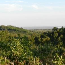
Благовещенский заказник
358.8 km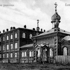
Церковь иконы Божией Матери «Всех скорбящих Радость»
387.1 km
Текан (Амурська область)
510.6 km
Мемориал Славы (Нерюнгри)
463.2 km
Ягодний (Амурська область)
495.6 km
Gora Burgalenzha
279.1 km
Gora Yuzhnyy Krest
311.7 km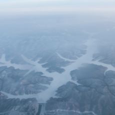
Zeya Reservoir
133.7 kmReviews
Visited this place? Tap the stars to rate it and share your experience / photos with the community! Try now! You can cancel it anytime.
Discover hidden gems everywhere you go!
From secret cafés to breathtaking viewpoints, skip the crowded tourist spots and find places that match your style. Our app makes it easy with voice search, smart filtering, route optimization, and insider tips from travelers worldwide. Download now for the complete mobile experience.

A unique approach to discovering new places❞
— Le Figaro
All the places worth exploring❞
— France Info
A tailor-made excursion in just a few clicks❞
— 20 Minutes