
Игнатьевское сельское поселение, human settlement in Pozharsky District, Primorsky Krai, Russia
Location: Pozharsky District
Capital city: Ignàtievka
GPS coordinates: 46.40000,134.13333
Latest update: April 11, 2025 07:30
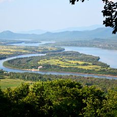
Zhenbao Island
24.1 km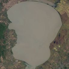
Khanka
203.8 km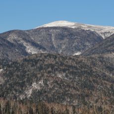
Sikhote-Alin Nature Reserve
228.9 km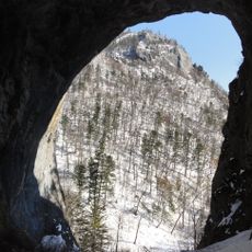
Chertovy Vorota Cave
236.6 km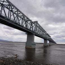
Tongjiang-Nizhneleninskoye railway bridge
204.9 km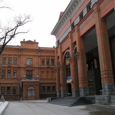
Archaeological Museum
241.2 km
Bolshekhekhtsirsky Nature Reserve
208.3 km
Bikin National Park
189.5 km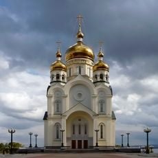
Transfiguration Cathedral, Khabarovsk
240.5 km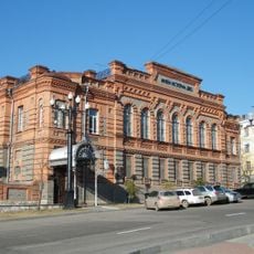
Far Eastern Military Museum
241 km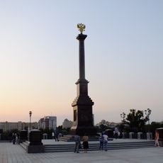
Monument to City of Military Glory
241 km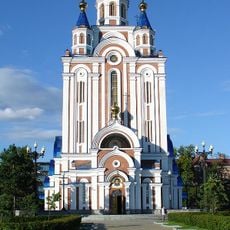
Dormition Cathedral, Khabarovsk
241 km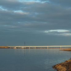
Мост через Амурскую протоку
221.9 km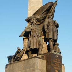
Алыҫ Көнсығышта Граждандар һуғышы геройҙары һәйкәле
240.9 km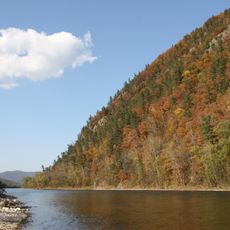
Udegeyskaya Legenda National Park
118.4 km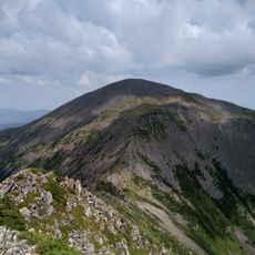
Ko Mountain
202.1 km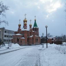
Saint Innocent Church, Khabarovsk
241.3 km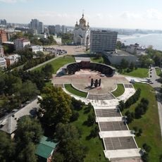
Glory Square, Khabarovsk
240.5 km
Svyato-Troitsky Nikolaevsky Monastery in Primorye
139.3 km
Far Eastern Art Museum
240.9 km
Хабаровский планетарий
241.3 km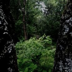
Khabarovsk arboretum
240.8 km
Youth Theatre Khabarovsk
241 km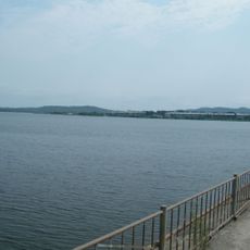
Luchegorsk Reservoir
12.8 km
Chamber Theatre "Triada"
241.2 km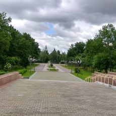
Gagarin park, Khabarovsk
238.9 km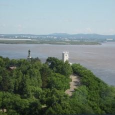
Muravyov-Amursky Park, Khabarovsk
240.8 km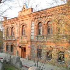
Khabarovsk Archaeology Museum
241.2 kmReviews
Visited this place? Tap the stars to rate it and share your experience / photos with the community! Try now! You can cancel it anytime.
Discover hidden gems everywhere you go!
From secret cafés to breathtaking viewpoints, skip the crowded tourist spots and find places that match your style. Our app makes it easy with voice search, smart filtering, route optimization, and insider tips from travelers worldwide. Download now for the complete mobile experience.

A unique approach to discovering new places❞
— Le Figaro
All the places worth exploring❞
— France Info
A tailor-made excursion in just a few clicks❞
— 20 Minutes