
莫戈特村委员会, human settlement in Tyndinsky District, Amur Oblast, Khabarovsk Krai, Russia
Location: Tyndinsky District
Capital city: Mogot
GPS coordinates: 55.60500,124.92167
Latest update: June 3, 2025 17:13
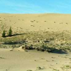
Chara Sands
440.9 km
Zeya Dam
255.4 km
Highland of Aldan
219.5 km
Olyokma Nature Reserve
375.8 km
Zeya Nature Reserve
241.2 km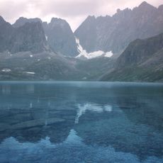
Vitim Nature Reserve
530.1 km
Mengwu Xiboge Sum
580.2 km
Nora Nature Reserve
492.2 km
Lake Bolshoye Toko
376.1 km
Pik BAM
475.3 km
Kodar National Park
475.5 km
Сиреневый Камень
467.2 km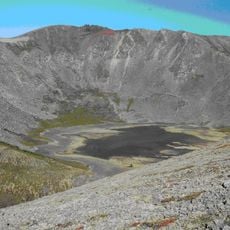
Aku Volcano
469.8 km
Udokan Plateau
451.9 km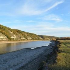
Buotama
590.6 km
Tokinsko-Stanovoy National Park
325.6 km
Памятник воинам-землякам, погибшим в годы Великой Отечественной войны (Томмот)
383.8 km
Мемориал Славы (Нерюнгри)
118.4 km
Ягодний (Амурська область)
260.2 km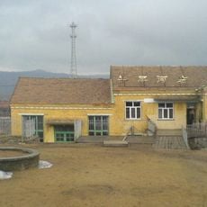
牛耳河镇
497.8 km
Orthodox church of the New Martyrs and Confessors of Russia in Aldan
336.2 km
Gora Burgalenzha
473.4 km
Road bridge over Aldan River in Tommot
382.8 km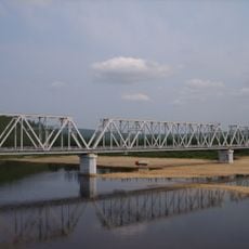
Railway bridge through Amga river in Verkhnyaya Amga
468.8 km
Railway bridge through Aldan river in Tommot
383 km
Gora Yuzhnyy Krest
474.5 km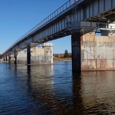
Road bridge over Amga River in Verkhnyaya Amga
468.6 km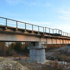
Rail bridge over Ulu river
544.6 kmReviews
Visited this place? Tap the stars to rate it and share your experience / photos with the community! Try now! You can cancel it anytime.
Discover hidden gems everywhere you go!
From secret cafés to breathtaking viewpoints, skip the crowded tourist spots and find places that match your style. Our app makes it easy with voice search, smart filtering, route optimization, and insider tips from travelers worldwide. Download now for the complete mobile experience.

A unique approach to discovering new places❞
— Le Figaro
All the places worth exploring❞
— France Info
A tailor-made excursion in just a few clicks❞
— 20 Minutes