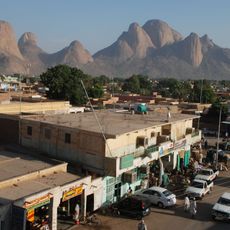
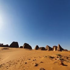
Kassala, Administrative state in eastern Sudan.
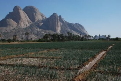
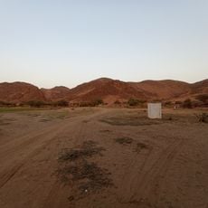
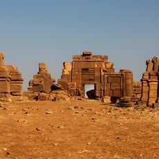
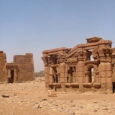
Kassala is an administrative state in eastern Sudan covering varied terrain, from rocky deserts in the center to the fertile Butana Plain in the north. The landscape shifts between arid regions and areas where water sources support agriculture and settlement.
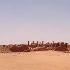
The region experienced shifts in power from Egyptian control in the early 19th century through Mahdist rule, eventually becoming part of Anglo-Egyptian Sudan in the late 1800s. These transitions influenced how the territory was governed and how trade routes were organized.
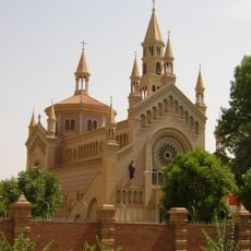
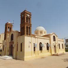
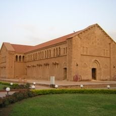
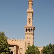
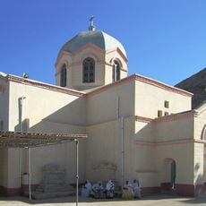
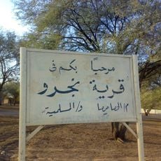
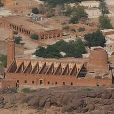
Kassala is home to Arab, Beja, and Nubian communities whose traditions shape daily customs and social practices in towns and markets. This diversity appears in the languages spoken, the foods prepared, and the festivals celebrated throughout the year.
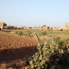
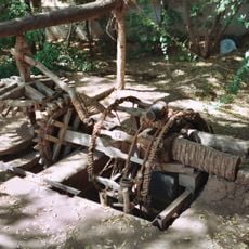
The economy relies heavily on agriculture, with farmers growing cereals, cotton, oilseeds, and peanuts that feed local markets and trade networks. Visitors will encounter a rural landscape where farming communities and local markets define daily activity.
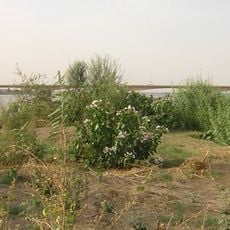
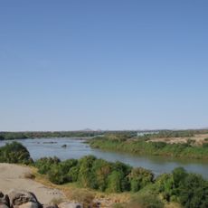
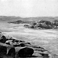
The Atbara River flows through Kassala creating seasonal floods during summer rains that provide crucial water resources for farming. Local farmers have adapted their planting schedules around this annual cycle, making it a defining feature of life in the state.
The community of curious travelers
AroundUs brings together thousands of curated places, local tips, and hidden gems, enriched daily by 60,000 contributors worldwide.