Ångermanland, Historical province in northeastern Sweden
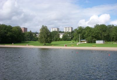
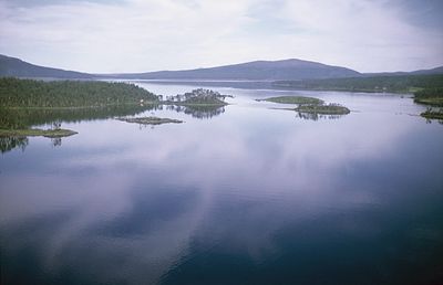
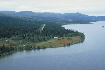
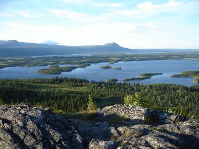
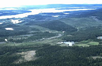
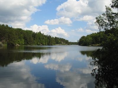
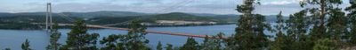
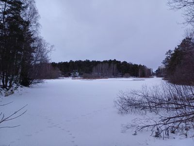
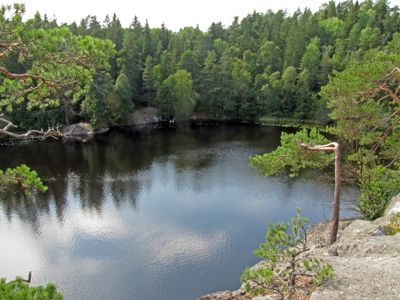
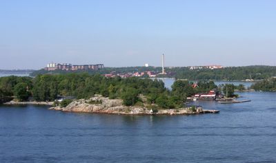
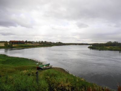
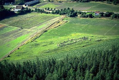
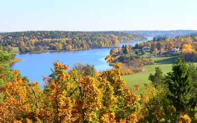
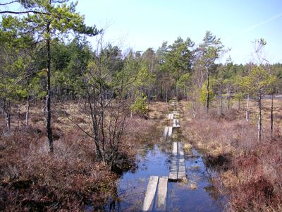
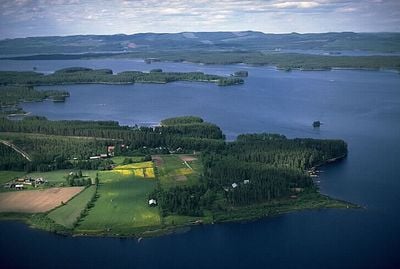
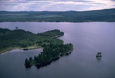
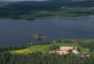
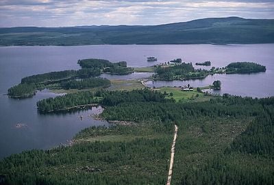
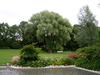
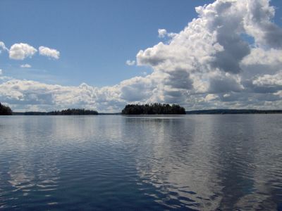
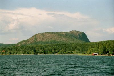
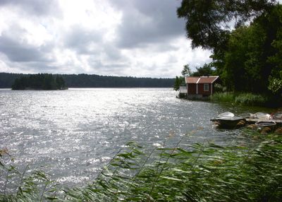
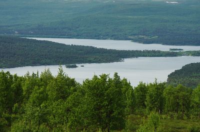
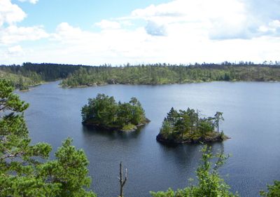
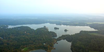
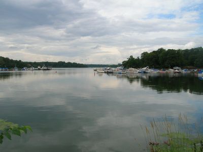
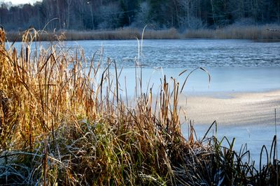
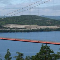
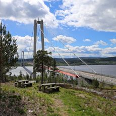
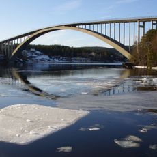
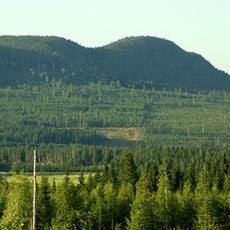
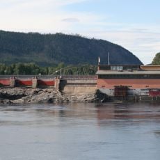
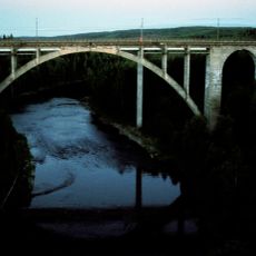
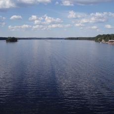
Ångermanland is a historical province in northeastern Sweden stretching from coastal areas along the Gulf of Bothnia into mountainous terrain. The landscape consists of deep fjords cutting inland, dense conifer forests, and numerous rivers flowing east from higher elevations.
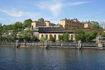
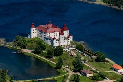
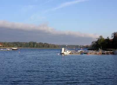
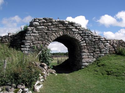
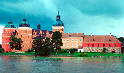
The region appears for the first time in 1170 in a Norwegian manuscript under the Latin name Angariuam, referring to the deep fjords along the coast. During the Middle Ages the area developed into an important zone for fishing and later for forestry and iron extraction.
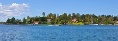
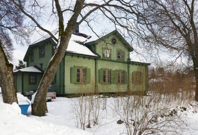
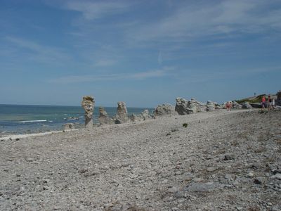
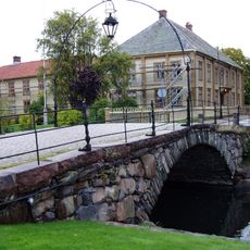
The name derives from an Old Norse word for deep fjord, still reflected today in the coastline with its branching inlets. Along these sea arms small fishing villages developed over the centuries, shaping the present-day character of the region.
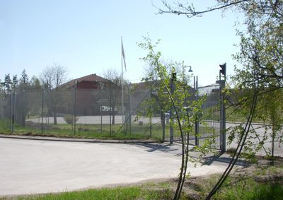
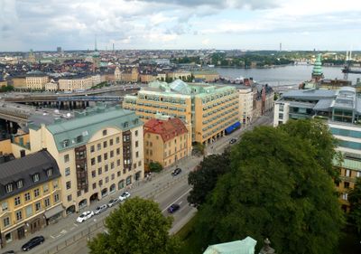
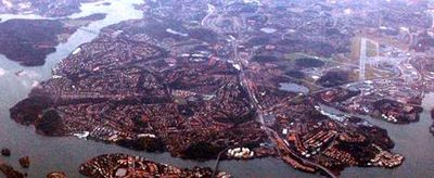
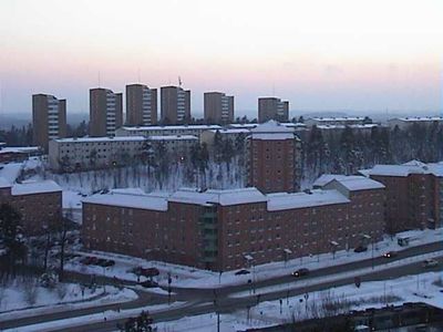
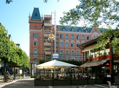
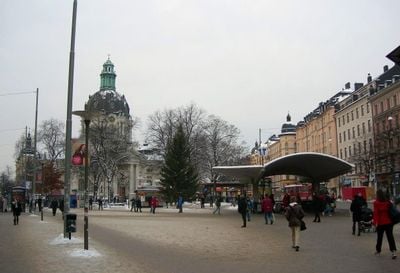
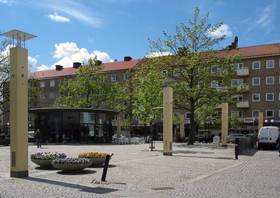
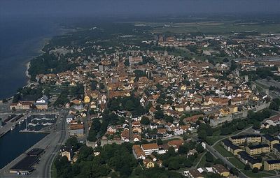
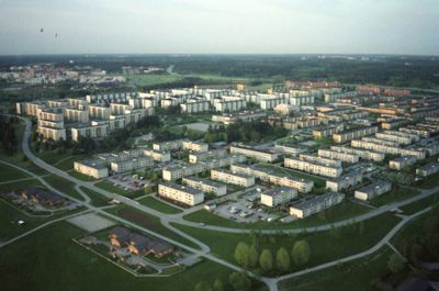
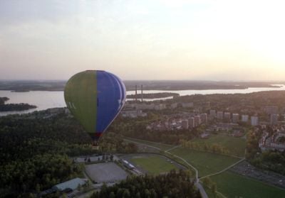
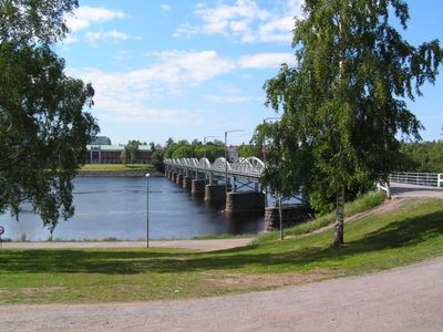
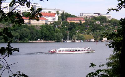
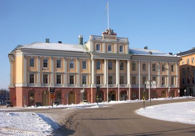
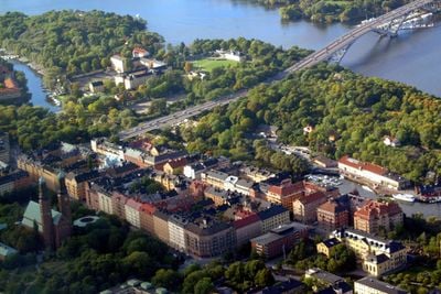
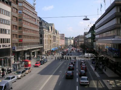
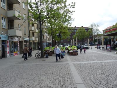
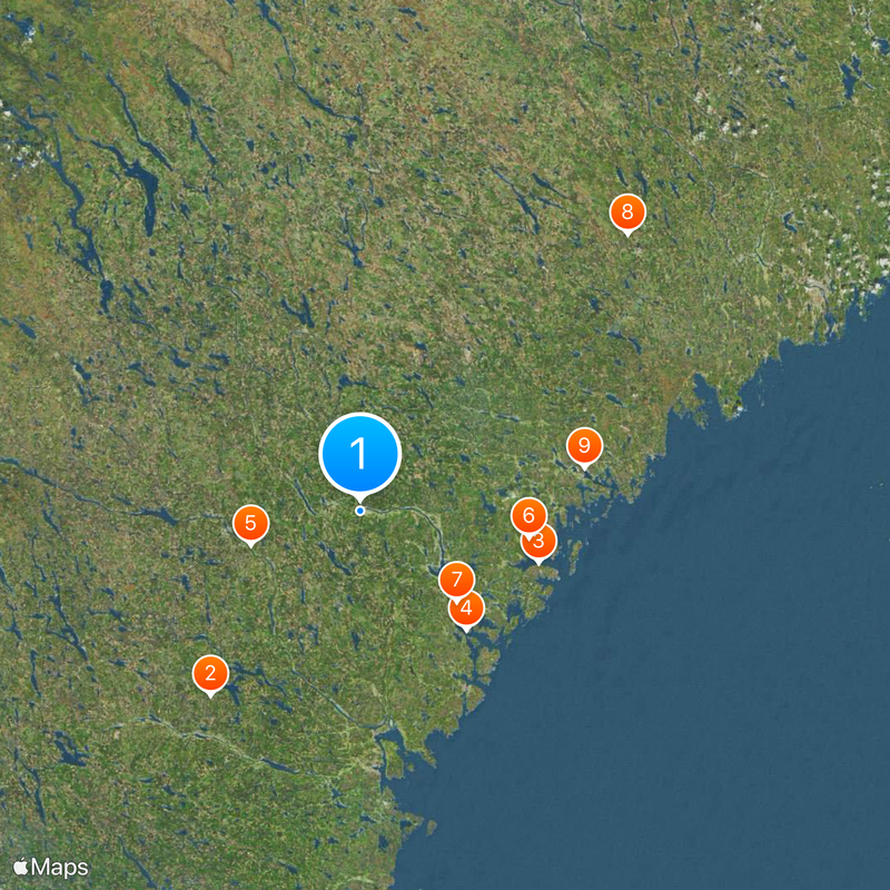
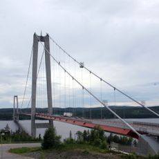
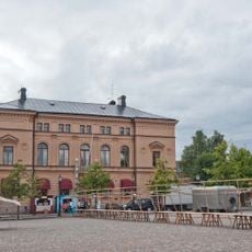
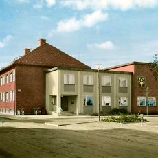
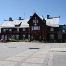
The province spreads across three administrative counties, with the larger towns located along the coast serving as starting points for exploring inland areas. Rivers and a branching road network connect the settlements and provide access to the forested regions.
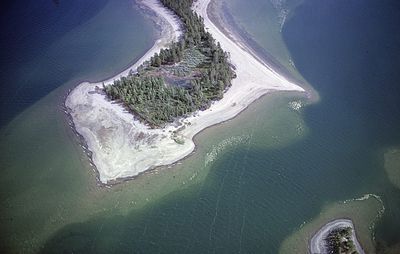
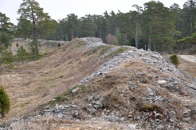
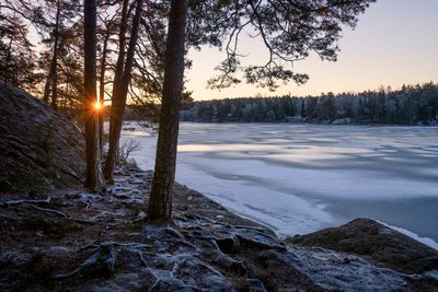
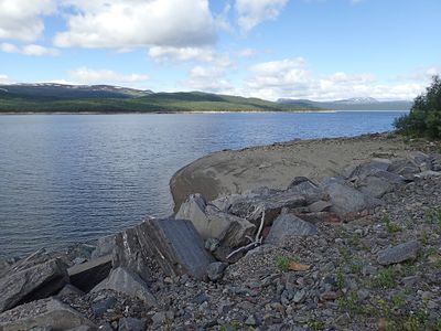
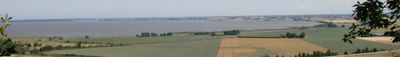
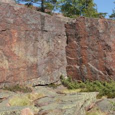
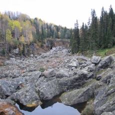
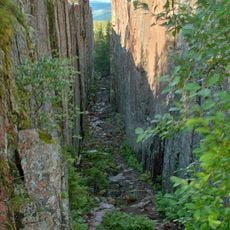
The land mass has been rising continuously from the sea since the end of the last ice age, visible today in changing coastlines and new land areas. This process of postglacial rebound continues and slowly but steadily alters the geography of the region.
The community of curious travelers
AroundUs brings together thousands of curated places, local tips, and hidden gems, enriched daily by 60,000 contributors worldwide.