
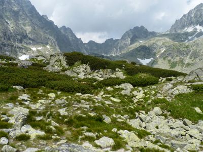
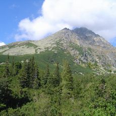
Batizovská dolina, national nature reserve in Slovakia
Location: District of Poprad
Operator: S TANAP
GPS coordinates: 49.14243,20.13325
Latest update: March 15, 2025 07:12
Gerlachovský štít
2.4 km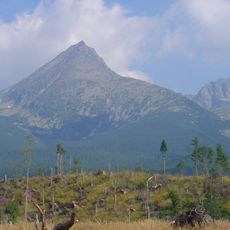
Končistá
2.2 km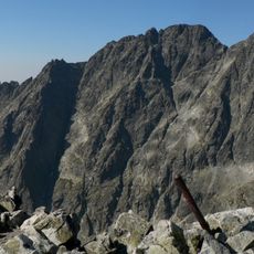
Zadný Gerlach
2.7 km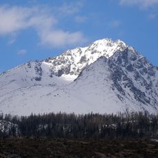
Mały Gerlach
2.2 km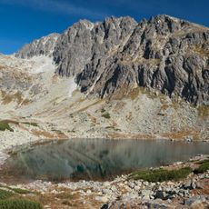
Batyżowiecka Próba
2 km
Mittlere Gerlsdorfer Spitze
2.4 km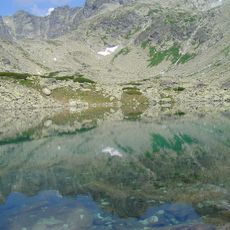
Batizovský štít
2.6 km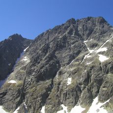
Wielicka Próba
2.2 km
Kaczy Szcyt
2.8 km
Szontághovo sanatórium
2.5 km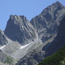
Popradský Ľadový štít
2.9 km
Mała Kończysta
2.7 km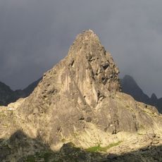
Kostolík
2.2 km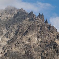
Targana Turnia
2.6 km
Kvetnicová veža
2.1 km
Ponad Kocioł Turnia
2.2 km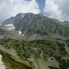
Batizovský žľab
1.9 km
Mały Batyżowiecki Szczyt
2.6 km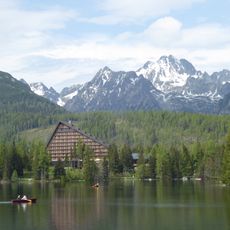
Tatranské podhorie
2.7 km
Drąg (Tatry)
2.9 km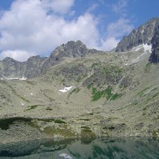
Batyżowieckie Czuby
2.6 km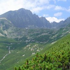
Batizovské vodopády
327 m
Suchy Wierch Batyżowiecki
519 m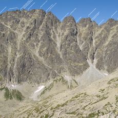
Stwolska Turnia
2.5 km
Urbanowe Turnie
1.7 km
Ponad Staw Turnia
1.9 km
Turnia nad Drągiem
2.8 km
Pośrednia Kończysta
2.2 kmVisited this place? Tap the stars to rate it and share your experience / photos with the community! Try now! You can cancel it anytime.
Discover hidden gems everywhere you go!
From secret cafés to breathtaking viewpoints, skip the crowded tourist spots and find places that match your style. Our app makes it easy with voice search, smart filtering, route optimization, and insider tips from travelers worldwide. Download now for the complete mobile experience.

A unique approach to discovering new places❞
— Le Figaro
All the places worth exploring❞
— France Info
A tailor-made excursion in just a few clicks❞
— 20 Minutes