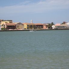
Saint-Louis, Colonial port city in Northern Senegal
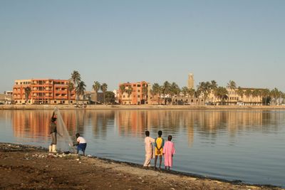
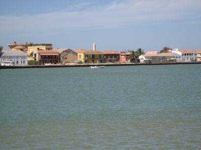
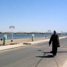
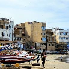
Saint-Louis sits across three distinct sections: the mainland Sor, an island in the Senegal River, and the Langue de Barbarie peninsula. The Faidherbe Bridge connects these three areas, making it possible to move between the mainland, island neighborhoods, and coastal zones.
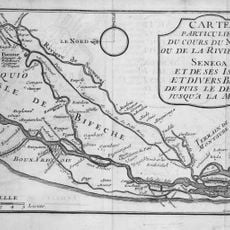
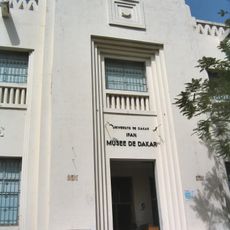
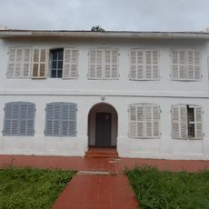
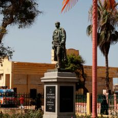
The city was founded in 1659 as the first French colonial settlement in Africa and served as the administrative center for French West Africa until 1902. This long period of importance shaped both its physical layout and its cultural inheritance.
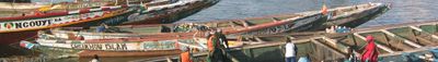
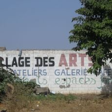
Music and performance traditions run through the daily life of the city, shaped by its long history as a cultural crossroads. Locals and visitors gather in public spaces where these artistic practices remain part of how the community celebrates and expresses itself.
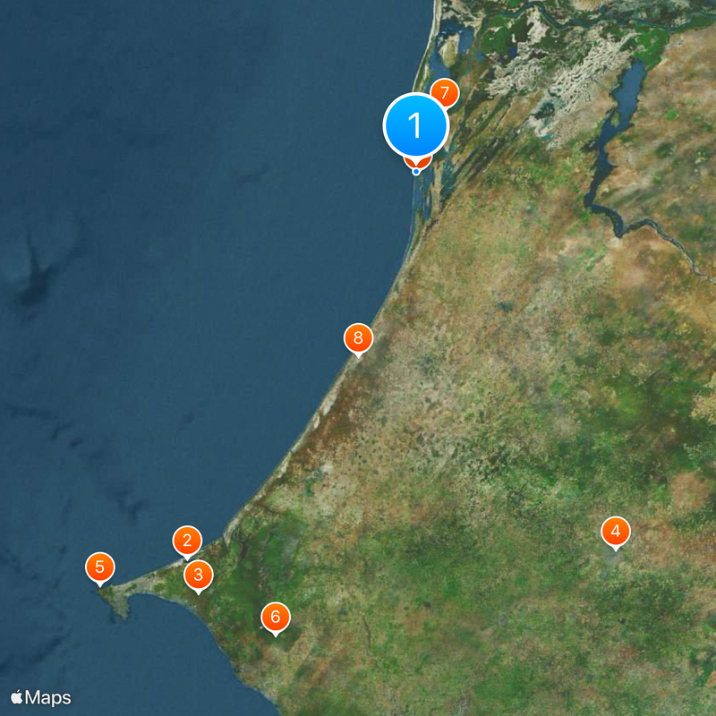
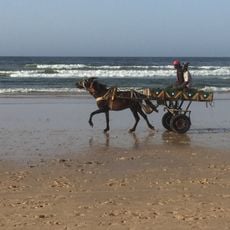
The city is easy to explore on foot since its three sections are connected by bridges and roads. Plan to visit the different neighborhoods in sequence to experience the varied character of the mainland, island, and coastal areas.
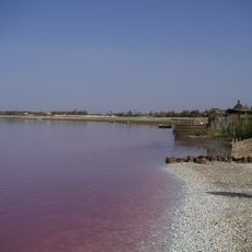
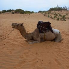
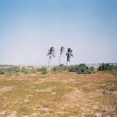
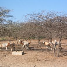
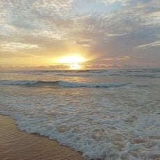
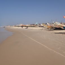
The city sits at the Senegal River delta where large numbers of water birds gather regularly, including pelicans, flamingos, and cormorants. This concentration of birds makes it a notable place for anyone interested in observing wildlife.
The community of curious travelers
AroundUs brings together thousands of curated places, local tips, and hidden gems, enriched daily by 60,000 contributors worldwide.