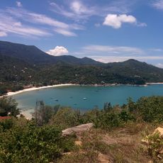
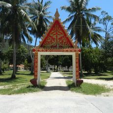
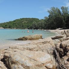
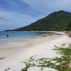
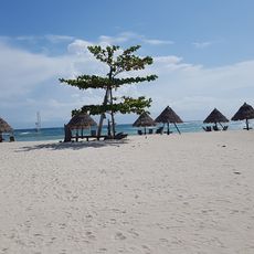
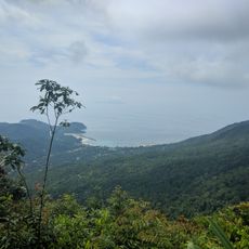
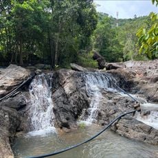
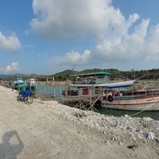
Ko Tao, subdistrict in Ko Pha-ngan district, Surat Thani province, Thailand
Location: Ko Pha-ngan
Inception: August 15, 1982
GPS coordinates: 10.07333,99.82889
Latest update: March 2, 2025 22:50
Ao Thong Nai Pan Noi
41.1 km
Hat Khuat
38.6 km
Malibu Beach
36.8 km
Wat Chalok Lam
37.4 km
Wat Phu Khao Noi
41.7 km
Haad Mae Haad
35.1 km
Wat Si Thanu
38.4 km
Phaeng Noi Waterfall
42.8 km
Wat Maduea Wan
42.1 km
Wat Amphawan
41.7 km
Wat Ko Charoen Santi Wanaram
1.5 km
Wang Sai Waterfall
35.8 km
Nangyuan Island Beach
5.2 km
Wat Samai Khongkha
40.6 km
Ao Sai Daeng
1.5 km
Haad Khom
36.8 km
Haad Chaloklum
37.2 km
Ao Sri Thanu
38.3 km
Khao Ra
40.6 km
Than Prawet Waterfall
41.3 km
Haad Son
36.7 km
Haad Yao
36.5 km
Haad Salad
35.7 km
Wat Thong Nai Pan
41.7 km
Chalok Lam
37.3 km
Bottle Beach Trail
37.6 km
Wok Tum Canal View Point
41.3 km
Chao Mae Kuan Im shrine
39.1 kmReviews
Visited this place? Tap the stars to rate it and share your experience / photos with the community! Try now! You can cancel it anytime.
Discover hidden gems everywhere you go!
From secret cafés to breathtaking viewpoints, skip the crowded tourist spots and find places that match your style. Our app makes it easy with voice search, smart filtering, route optimization, and insider tips from travelers worldwide. Download now for the complete mobile experience.
A unique approach to discovering new places❞
— Le Figaro
All the places worth exploring❞
— France Info
A tailor-made excursion in just a few clicks❞
— 20 Minutes