
Hayrabolu, district and town of Tekirdağ,Turkey
Location: Tekirdağ Province
Elevation above the sea: 81 m
GPS coordinates: 41.21467,27.10818
Latest update: March 8, 2025 19:40
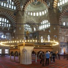
Selimiye Mosque
69 km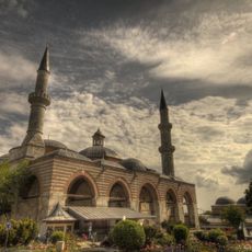
Eski Edirne Mosque
69.1 km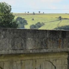
Uzunköprü Bridge
36.8 km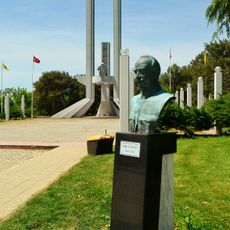
Treaty of Lausanne Monument and Museum
69.2 km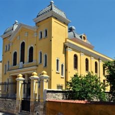
Grand Synagogue of Edirne
68.9 km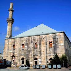
Çelebi Sultan Mehmed Mosque
53.5 km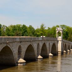
Yeni Köprü Bridge
68.2 km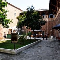
Rüstem Pasha Caravanserai
69 km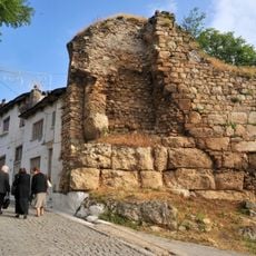
Castle of Didymoteicho
54 km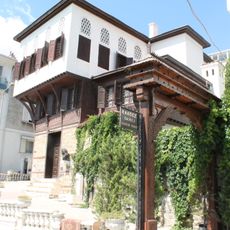
Rákóczi Museum
43.1 km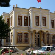
Kırklareli Museum
58.6 km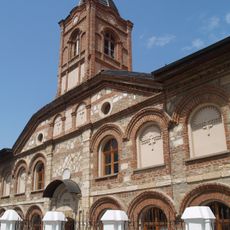
St. George Church (Edirne)
68.6 km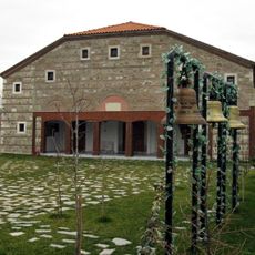
Church of Sts. Constantine and Helen
67.5 km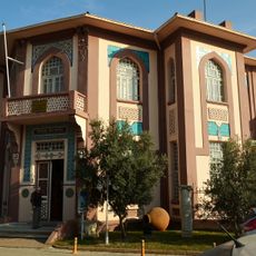
Tekirdağ Museum of Archaeology and Ethnography
43.1 km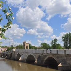
Tunca Bridge
68.4 km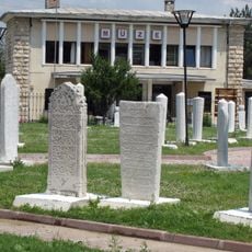
Edirne Museum
69 km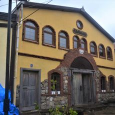
Kutman Wine Museum
62.1 km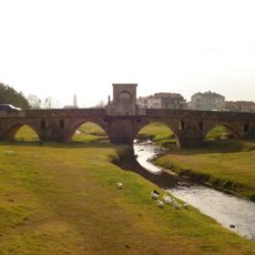
Babaeski bridge
23.7 km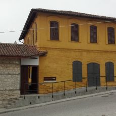
Silk museum (Soufli)
68.5 km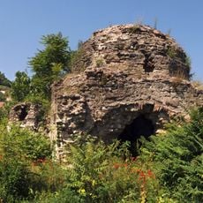
Hamam of Oruç Paşa
53.7 km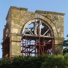
Türbe of Oruç Paşa
53.2 km
Hamam of Feridun Ahmed Bey
53.6 km
Church of Aghia Aikaterini (Didymoteicho)
53.9 km
Plotinopolis
52.7 km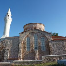
Hagia Sophia, Vize
68.2 km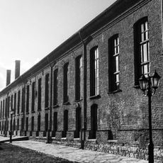
Silk factory Tzivre
67.8 km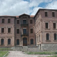
Archontiko Brika
67.9 km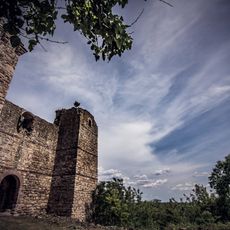
Castle of Pythio
45.6 kmReviews
Visited this place? Tap the stars to rate it and share your experience / photos with the community! Try now! You can cancel it anytime.
Discover hidden gems everywhere you go!
From secret cafés to breathtaking viewpoints, skip the crowded tourist spots and find places that match your style. Our app makes it easy with voice search, smart filtering, route optimization, and insider tips from travelers worldwide. Download now for the complete mobile experience.

A unique approach to discovering new places❞
— Le Figaro
All the places worth exploring❞
— France Info
A tailor-made excursion in just a few clicks❞
— 20 Minutes