
Yıldızeli, district in Sivas, Turkey
Location: Sivas Province
Elevation above the sea: 1,401 m
GPS coordinates: 39.86671,36.59954
Latest update: March 15, 2025 07:50
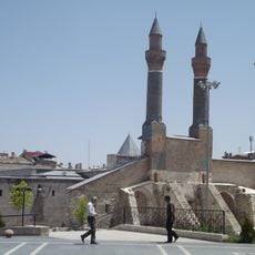
Çifte Minareli Madrasa
37.8 km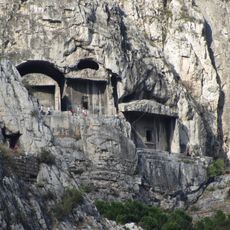
Tombs of the Kings of Pontus
109.3 km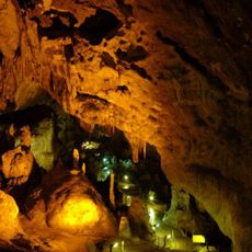
Ballıca Cave
47.5 km
Taşhan, Tokat
50.3 km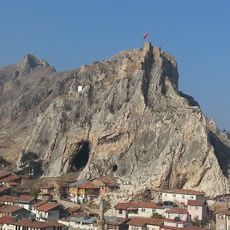
Tokat Castle
50.4 km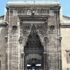
Buruciye Medresesi
37.9 km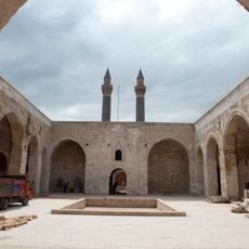
Şifaiye Medrese
37.9 km
Almus Dam
65.6 km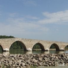
Şahruh Bridge
94.9 km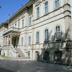
Sivas Congress and Ethnography Museum
37.7 km
Tokat Clock Tower
49.6 km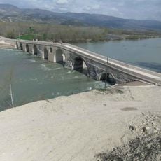
Talazan Köprüsü
85.9 km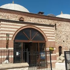
Tokat Museum
50.2 km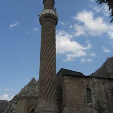
Burmalı Minare Camii
108.9 km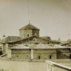
Sourb Nshan of Sebastia
29.4 km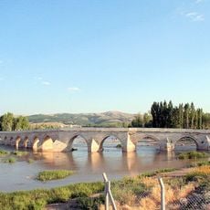
Bent Bridge
40.9 km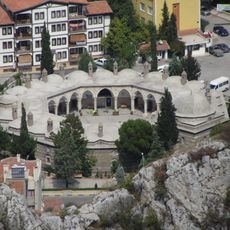
Büyük Aga Medrese
109.5 km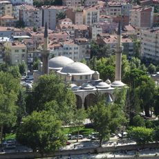
Bayezid II Mosque (Amasya)
109.1 km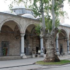
Ali Pasha Mosque
42.2 km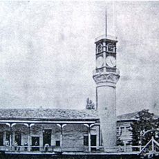
Amasya Clock Tower
109.1 km
Sen Timur Tomb
50.8 km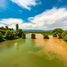
Boğazkesen Bridge
100.5 km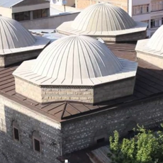
Bedesten, Amasya
109 km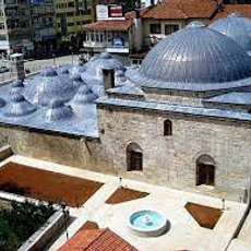
Ali Paşa Hamamı
50.1 km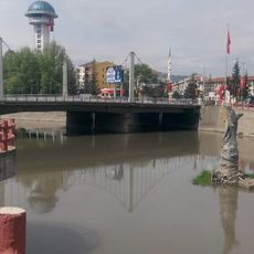
Turhal Kule
72.4 km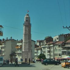
Şehitler Clock Tower
85.8 km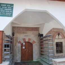
Boyacı Hasan Ağa Camii
77.6 km
Burmalı Amasya Mosque
108.9 kmReviews
Visited this place? Tap the stars to rate it and share your experience / photos with the community! Try now! You can cancel it anytime.
Discover hidden gems everywhere you go!
From secret cafés to breathtaking viewpoints, skip the crowded tourist spots and find places that match your style. Our app makes it easy with voice search, smart filtering, route optimization, and insider tips from travelers worldwide. Download now for the complete mobile experience.

A unique approach to discovering new places❞
— Le Figaro
All the places worth exploring❞
— France Info
A tailor-made excursion in just a few clicks❞
— 20 Minutes